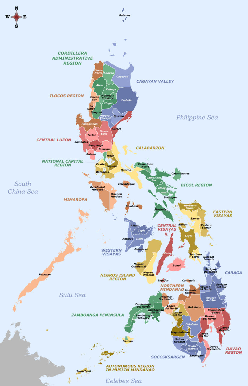
San Francisco, Bohol
| San Francisco | ||
|---|---|---|
| Barangay | ||
| ||
| Coordinates: 9°57′17″N 124°24′32″E / 9.9547°N 124.4089°ECoordinates: 9°57′17″N 124°24′32″E / 9.9547°N 124.4089°E | ||
| Country | Philippines | |
| Region | Central Visayas Region VII | |
| Province | Bohol | |
| District | 2nd District of Bohol | |
| Municipality | Ubay | |
| Urban District | I | |
| Established | 24 June 1968 | |
| Purok | 7 | |
| Government | ||
| • Type | Sangguniang Barangay | |
| • Brgy Captain | Jovelene Doydora | |
| • Brgy Council | ||
| Area | ||
| • Total | 1,107 ha (2,735 acres) | |
| Population (2010 census)[1] | ||
| • Total | 1,677 | |
| • Density | 150/km2 (390/sq mi) | |
| • Voters (2013)[2] | 938 | |
| Time zone | PST (UTC+8) | |
| ZIP code | 6315 | |
| IDD : area code | +63 (0)38 | |
| PSGC | 071246037 | |
San Francisco is one of the 44 barangays of the municipality of Ubay, in the province of Bohol, Philippines.
The barangay's total land area is 1,107 hectares (2,740 acres).[3] According to the 2010 census, it has a population of 1,677. In the ? election, it had 938 registered voters, meaning that 56% of the population are aged 18 and over.[2]
San Francisco celebrates its annual fiesta on 27 June in honor of their patron saint.
History
Before 1910, San Francisco was part of sitio Ilihan, itself part of the large barangay of San Pascual. When Ilihan became a separate barrio in 1910, San Francisco was named as one of its sitios. It was only on June 24, 1968 that it became an independent barangay.[4]
Profile
Physical Features
The boundaries of San Francisco are its rivers, which extend to San Pascual, Bulilis and Villa Teresita. These rivers are the source of water for home use and for irrigation. The topography of the barangay is a plain with hundreds of trees around its plaza and the present school site.
Economy
La Carlota ranch is situated in the southern portion of the barangay and covers approximately 600 hectares (1,500 acres). Much of its area is used for farming, as well as for cattle raising and livestocks. To help farmers in the community, organizations like FASFI and Barangay Agrarian Reform Committee (BARC) were established.[4]
Facilities and Services
- Barangay Hall
- Barangay Health Center
- Barangay Chapel
- Day Care Center
- Elementary School
- Multi-purpose pavement
- Tanod Outpost
- 7 Purok Kiosks
References
- ↑ "Region VII (CENTRAL VISAYAS)". Census of Population and Housing (2010): Total Population by Province, City, Municipality and Barangay (Report). NSO. Retrieved 29 June 2016.
- 1 2 Project of Precincts for the 2013 Barangay Elections
- ↑ "Chapter I" (PDF). Retrieved 2011-10-10.
- 1 2 Duetes, Teresita (October 1990). "The Province of Bohol". Ubay Past and Present. The Bohol Provincial Library. 47: 55–57.
External links
 |
Bulilis |  | ||
| Los Angeles | |
California | ||
| ||||
| | ||||
| Governor Boyles |


