Dos Rios, California
| Dos Rios | |
|---|---|
| Unincorporated community | |
 Dos Rios  Dos Rios Location in California | |
| Coordinates: 39°43′01″N 123°21′12″W / 39.71694°N 123.35333°WCoordinates: 39°43′01″N 123°21′12″W / 39.71694°N 123.35333°W | |
| Country | United States |
| State | California |
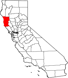
| County | Mendocino County |
| Elevation[1] | 961 ft (293 m) |
Dos Rios (also, Two Rivers - which is its English translation)[2] is an unincorporated community in Mendocino County, California.[1] It is located 7 miles (11 km) east-southeast of Laytonville,[2] at an elevation of 961 feet (293 m).[1] Dos Rios's zip code, 95429, has a population of 70.[3]
The Two Rivers post office opened in 1912 and changed its name to Dos Rios in 1915.[2] The name comes from the place's proximity to the confluence of the Middle Fork of the Eel River with the Eel River proper.[2]
See also
Climate
This region experiences warm (but not hot) and dry summers, with no average monthly temperatures above 71.6 °F. According to the Köppen Climate Classification system, Dos Rios has a warm-summer Mediterranean climate, abbreviated "Csb" on climate maps.[4]
References
- 1 2 3 U.S. Geological Survey Geographic Names Information System: Dos Rios, California
- 1 2 3 4 Durham, David L. (1998). California's Geographic Names: A Gazetteer of Historic and Modern Names of the State. Clovis, Calif.: Word Dancer Press. p. 51. ISBN 1-884995-14-4.
- ↑ American FactFinder Census, U.S. Census Bureau
- ↑ Climate Summary for Dos Rios, California