River Garden, California
| River Garden | |
|---|---|
| Former settlement | |
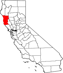
 River Garden Location in California | |
| Coordinates: 39°50′43″N 123°25′13″W / 39.84528°N 123.42028°WCoordinates: 39°50′43″N 123°25′13″W / 39.84528°N 123.42028°W | |
| Country | United States |
| State | California |
| County | Mendocino County |
| Elevation[1] | 797 ft (243 m) |
River Garden (also, River Gardens) is a former settlement in Mendocino County, California.[1] It was located on the railroad and on the South Fork of the Eel River 3.5 miles (5.6 km) south-southeast of Spyrock,[2] at an elevation of 797 feet (243 m).[1] It still appeared on maps as of 1952.[1]
References
This article is issued from Wikipedia - version of the 1/18/2011. The text is available under the Creative Commons Attribution/Share Alike but additional terms may apply for the media files.