Nashmead, California
| Nashmead | |
|---|---|
| Unincorporated community | |
 Nashmead  Nashmead Location in California | |
| Coordinates: 39°49′21″N 123°24′53″W / 39.82250°N 123.41472°WCoordinates: 39°49′21″N 123°24′53″W / 39.82250°N 123.41472°W | |
| Country | United States |
| State | California |
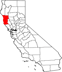
| County | Mendocino County |
| Elevation[1] | 814 ft (248 m) |
Nashmead (formerly, Nash) is an unincorporated community in Mendocino County, California.[1] It is located on the Eel River and Northwestern Pacific Railroad[2] 4 miles (6.4 km) south-southeast of Spyrock,[3] at an elevation of 814 feet (248 m).[1]
A post office operated at Nashmead from 1915 to 1960.[3] The name honors J. Nash, its first postmaster.[3] The name Nashmead was formed from "Nash's Meadows".[3]
References
- 1 2 3 U.S. Geological Survey Geographic Names Information System: Nashmead, California
- ↑ DeLorme California Atlas & Gazateer (2008) Yarmouth, Maine p.47 ISBN 0-89933-383-4
- 1 2 3 4 Durham, David L. (1998). California's Geographic Names: A Gazetteer of Historic and Modern Names of the State. Clovis, Calif.: Word Dancer Press. p. 112. ISBN 1-884995-14-4.
This article is issued from Wikipedia - version of the 7/5/2016. The text is available under the Creative Commons Attribution/Share Alike but additional terms may apply for the media files.