Hala, Syria
| Hala حله | |
|---|---|
| Village | |
 Hala | |
| Coordinates: 33°44′14″N 36°31′58″E / 33.73722°N 36.53278°E | |
| Country |
|
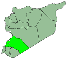
| Governorate | Rif Dimashq Governorate |
| District | Al-Qutayfah District |
| Nahiyah | Al-Qutayfah |
| Population (2004 census)[1] | |
| • Total | 3,921 |
| Time zone | EET (UTC+2) |
| • Summer (DST) | EEST (UTC+3) |
| Area code(s) | 11 |
Hala (Arabic: حله) is a village in southern Syria, administratively part of the Rif Dimashq Governorate, located northeast of Damascus in the Qalamoun Mountains. Nearby localities include Ma'loula and Yabroud to the northeast, Hosh Arab, Rankous and Assal al-Ward to the northeast and Jayroud and al-Qutayfah to the east. According to the Syria Central Bureau of Statistics, Hala had a population of 3,921 in the 2004 census.[1]
References
- 1 2 General Census of Population and Housing 2004. Syria Central Bureau of Statistics (CBS). Rif Dimashq Governorate. (Arabic)
This article is issued from Wikipedia - version of the 1/17/2015. The text is available under the Creative Commons Attribution/Share Alike but additional terms may apply for the media files.