Burnt Prairie Township, White County, Illinois
| Burnt Prairie Township | |
| Township | |
| Country | United States |
|---|---|
| State | Illinois |
| County | White |
| Elevation | 407 ft (124.1 m) |
| Coordinates | 38°11′46″N 88°12′18″W / 38.19611°N 88.20500°WCoordinates: 38°11′46″N 88°12′18″W / 38.19611°N 88.20500°W |
| Area | 54.04 sq mi (140.0 km2) |
| - land | 54.03 sq mi (140 km2) |
| - water | 0.01 sq mi (0 km2) |
| Population | 345 (2010) |
| Organized | November 7, 1871 |
| Timezone | CST (UTC-6) |
| - summer (DST) | CDT (UTC-5) |
| ZIP code | XXXXX |
| Area code | 618 |
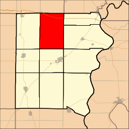 Location of Burnt Prairie Township in White County
| |
 Location of Burnt Prairie Township in Illinois
| |
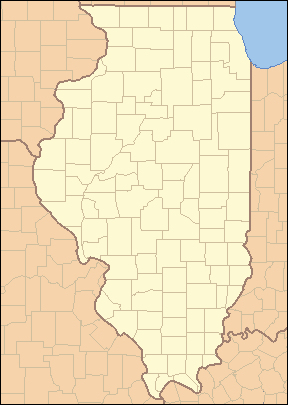
 Location of Illinois in the United States
| |
Burnt Prairie Township is located in White County, Illinois. As of the 2010 census, its population was 345 and it contained 195 housing units.[1]
Geography
According to the 2010 census, the township has a total area of 54.04 square miles (140.0 km2), of which 54.03 square miles (139.9 km2) (or 99.98%) is land and 0.01 square miles (0.026 km2) (or 0.02%) is water.[1]
References
- 1 2 "Population, Housing Units, Area, and Density: 2010 - County -- County Subdivision and Place -- 2010 Census Summary File 1". United States Census. Retrieved 2013-05-28.
External links
Municipalities and communities of White County, Illinois, United States | ||
|---|---|---|
| Cities | ||
| Villages | ||
| Townships | ||
| Unincorporated communities |
| |
| Footnotes | ‡This populated place also has portions in an adjacent county or counties | |

This article is issued from Wikipedia - version of the 9/5/2016. The text is available under the Creative Commons Attribution/Share Alike but additional terms may apply for the media files.