Alberta Highway 26
| ||||
|---|---|---|---|---|
 | ||||
| Route information | ||||
| Length: | 82 km (51 mi) | |||
| Major junctions | ||||
| West end: |
| |||
|
| ||||
| East end: |
| |||
| Location | ||||
| Specialized and rural municipalities: | Camrose County, Flagstaff County, Beaver County | |||
| Major cities: | Camrose | |||
| Highway system | ||||
|
Provincial highways in Alberta
| ||||

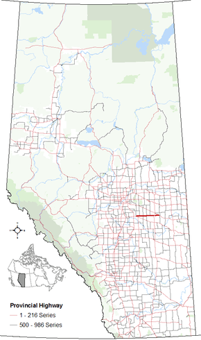
Alberta Provincial Highway No. 26[1] is a highway located in central Alberta, Canada, east of the City of Camrose.
As Highway 13 turns to the southeast at the eastern outskirts of Camrose, Highway 26 branches off and proceeds east, following the 12th Correction Line for its entire length.[2]
Six km east, Highway 834 (Range Road 194) branches off to the south and becomes Highway 56 when it meets Highway 13.
Five km farther to the east, Highway 834 branches off to the north. Thirteen km later Highway 26 crosses Highway 854.
The road continues east another 13 km where it crosses Highway 855. Thirteen km later Highway 857 branches off to the north.
Fourteen km farther east Highway 26 meets Highway 36 about 12 km southwest of the Town of Viking. The two highways run concurrently for 3 km before Highway 36 turns north toward Viking. After leaving Highway 36, the highway continues for another 14 km (on what was formerly Highway 615) to its end at Highway 14 west of Kinsella.[3][4]
Major intersections
References
- ↑ Provincial Highways Designation Order, Alberta Transportation, p. 5
- ↑ "Alberta's Township System". Alberta Land Surveyors' Association. 2016. Retrieved 2016-05-05.
- ↑ Alberta Official Road Map (Map) (2015 ed.). City of Edmonton Transportation Services for Alberta Culture and Tourism. § J–6, J–7.
- ↑ Alberta Range & Township Road Atlas (2005 ed.). Oshawa, ON: MapArt Publishing Corp. pp. 65, 66.
- ↑ "Google Maps". Google Maps. Retrieved 5 May 2016.
External links
- 2010 Provincial Highways 1 - 216 Series Progress Chart (map, 8 MB) by Alberta Transportation.