Alberta Highway 62
| ||||
|---|---|---|---|---|
 | ||||
| Route information | ||||
| Length: | 51.8 km[1] (32.2 mi) | |||
| Major junctions | ||||
| From: |
| |||
| To: |
| |||
| Location | ||||
| Specialized and rural municipalities: | Cardston County | |||
| Towns: | Magrath | |||
| Highway system | ||||
|
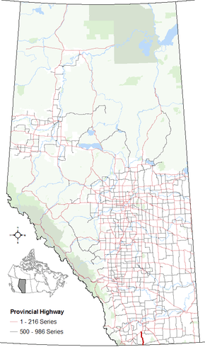
Provincial highways in Alberta
| ||||

Alberta Provincial Highway No. 62 is a north-south highway in southern Alberta, Canada. In the north, Highway 62 begins at its intersection with Highway 5 at the Town of Magrath and ends at the Alberta/Montana border south of the Hamlet of Del Bonita. In the United States, the highway continues as Montana Secondary Highway 213.[1][2][3]
Major intersections
| Municipality | km | Description | Coordinates | ||
|---|---|---|---|---|---|
| County of Warner No. 5 | 0 | Begins at the United States border | 49°00′00.00″N 112°47′17.42″W / 49.0000000°N 112.7881722°W | ||
| 3 | Crosses Highway 501 at the Hamlet of Del Bonita | 49°27′54.96″N 112°40′07.42″W / 49.4652667°N 112.6687278°W | |||
| 47 | Highway 506 branches off to the east | 49°22′38.19″N 112°51′08.71″W / 49.3772750°N 112.8524194°W | |||
| Town of Magrath | 53 | Ends at |
49°25′41.11″N 112°51′57.86″W / 49.4280861°N 112.8660722°W | ||
| 1.000 mi = 1.609 km; 1.000 km = 0.621 mi | |||||
References
- 1 2 "Provincial Highway 1-216 Progress Chart" (PDF). Alberta Transportation. March 2015. Archived (PDF) from the original on April 10, 2016. Retrieved October 12, 2016.
- ↑ Provincial Highways Designation Order, Alberta Transportation, p. 9
- ↑ Google (October 31, 2016). "Highway 62 in southern Alberta" (Map). Google Maps. Google. Retrieved October 31, 2016.
This article is issued from Wikipedia - version of the 10/31/2016. The text is available under the Creative Commons Attribution/Share Alike but additional terms may apply for the media files.