Alberta Highway 3A
| ||||
|---|---|---|---|---|
 | ||||
| Location | ||||
| Specialized and rural municipalities: | Pincher Creek No. 9 M.D., Willow Creek No. 26 M.D., Lethbridge County, Taber M.D. | |||
| Major cities: | Lethbridge | |||
| Villages: | Barnwell | |||
| Highway system | ||||
|
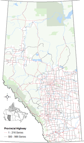
Provincial highways in Alberta
| ||||

Alberta Provincial Highway No. 3A[1] is the designation of four alternate routes off the Crowsnest Highway (Highway 3) in Alberta, Canada. All four segments are previous alignments of the Crowsnest Highway.
From west to east, the first segment of Highway 3A begins west of the Crowsnest Highway's intersection with Highway 22, east of Burmis, and ends east of the same intersection with Highway 22, west of Lundbreck. This 3.6 km segment crosses the Crowsnest River and provides a viewing opportunity of Lundbreck Falls.
The second segment, 6.8 km in length, begins 21 km east of Fort Macleod, Alberta from Highway 3 and runs north of it for 7 km through the Hamlet of Monarch along the Canadian Pacific Railway tracks, then merges with Highway 23 and back into the Crowsnest Highway, 19 km west of Lethbridge.
The third segment of Highway 3A provides access to the western portion of the City of Lethbridge. It deflects off the Crowsnest Highway southeast of Coalhurst, west of Highway 25, becoming Westside Drive West.
The fourth and easternmost segment is the original alignment of the Crowsnest Highway through Barnwell, which was bypassed when the Crowsnest Highway was twinned to Taber.
References
- ↑ Provincial Highways Designation Order, Alberta Transportation, p. 2
External links
- 2010 Provincial Highways 1 - 216 Series Progress Chart (map, 8 MB) by Alberta Transportation.