Alberta Highway 19
Highway 625 | |||||||
|---|---|---|---|---|---|---|---|
 | |||||||
| Highway 19 | |||||||
| Length: | 12.2 km (7.6 mi) | ||||||
| West end: |
| ||||||
| East end: |
| ||||||
| Highway 625 | |||||||
| Length: | 20.2 km (12.6 mi) | ||||||
| West end: |
| ||||||
| Major junctions: |
| ||||||
| East end: |
| ||||||
| Location | |||||||
| Specialized and rural municipalities: | Leduc County | ||||||
| Towns: | Devon, Beaumont | ||||||
| Highway system | |||||||
|
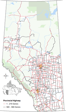
Provincial highways in Alberta
| |||||||


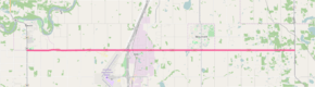
Alberta Provincial Highway No. 19 is an east-west highway in Alberta, Canada connecting Highway 60 near Devon to Highway 2 at Nisku.[1] East of Highway 2, it continues east as Alberta Provincial Highway No. 625 through Nisku Industrial Park, past the Town of Beaumont, to Highway 21.[2] Highways 19 and 60 provide an alternative route between Highway 2 and Highway 16 while bypassing Edmonton.
Future
Design work and land acquisition is underway for the twinning of Highway 19 from Highway 60 to Highway 2. The project includes eight intersection upgrades; two new bridges at Whitemud Creek; illumination at Highway 60 and airport access road; and traffic signals at the airport access road intersection.[3] In conjunction with twinning of Highway 19, studies are underway to twin Highway 625 between Highway 2 and Highway 21.[3]
Junction list
| Rural/specialized municipality | Location | km[2] | mi | Destinations | Notes | ||
|---|---|---|---|---|---|---|---|
| Leduc County | Devon | 0.0 | 0.0 | ||||
| Nisku | 12.2– 0.0 | 7.6– 0.0 | Grade separated | ||||
| Beaumont | 8.9 | 5.5 | |||||
| | 20.2 | 12.6 | |||||
| Continues as Township Road 504 | |||||||
1.000 mi = 1.609 km; 1.000 km = 0.621 mi
| |||||||
References
- ↑ "Provincial Highway 1-216 Progress Chart" (PDF). Alberta Transportation. March 2015. Archived (PDF) from the original on April 10, 2016. Retrieved October 12, 2016.
- 1 2 Google (October 28, 2016). "Highways 19 and 625 near Edmonton" (Map). Google Maps. Google. Retrieved October 28, 2016.
- 1 2 "Edmonton & Area Provincial Highway Projects". Alberta Transportation. Retrieved December 29, 2010.