Santa Rita, Salinas, California
| Santa Rita | |
|---|---|
| Neighborhood of Salinas | |
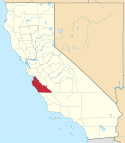
 Santa Rita Location in California | |
| Coordinates: 36°43′26″N 121°39′22″W / 36.72389°N 121.65611°WCoordinates: 36°43′26″N 121°39′22″W / 36.72389°N 121.65611°W | |
| Country | United States |
| State | California |
| County | Monterey County |
| City | Salinas |
| Elevation[1] | 79 ft (24 m) |
Santa Rita (formerly, New Republic, Sotoville, and Pinecate)[2] is a neighborhood of Salinas in Monterey County, California.[1] It is located north of downtown,[2] at an elevation of 79 feet (24 m).[1]
Jose Manuel Soto bought the Santa Rita land grant and allocated 1 square mile (2.6 km2) for a town he named New Republic.[2] The New Republic post office opened in 1870 and changed its name to Santa Rita in 1874, and closed permanently in 1907.[2] The town was also called Pinecate from nearby Pinecate Peak, and Sotoville in honor of Soto.[2]
Santa Rita was annexed by Salinas in 1975.[3]
References
- 1 2 3 U.S. Geological Survey Geographic Names Information System: Santa Rita, Salinas, California
- 1 2 3 4 5 Durham, David L. (1998). California's Geographic Names: A Gazetteer of Historic and Modern Names of the State. Clovis, Calif.: Word Dancer Press. p. 955. ISBN 1-884995-14-4.
- ↑ Salinas Public Library History
This article is issued from Wikipedia - version of the 10/7/2016. The text is available under the Creative Commons Attribution/Share Alike but additional terms may apply for the media files.