Docas, California
| Docas | |
|---|---|
| Former settlement | |
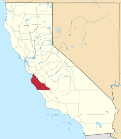
 Docas Location in California | |
| Coordinates: 36°05′01″N 120°56′53″W / 36.08361°N 120.94806°WCoordinates: 36°05′01″N 120°56′53″W / 36.08361°N 120.94806°W | |
| Country | United States |
| State | California |
| County | Monterey County |
| Elevation[1] | 404 ft (123 m) |
Docas is a former settlement in Monterey County, California.[1] It was located on the Southern Pacific Railroad 5 miles (8 km) north-northwest of San Ardo,[2] at an elevation of 404 feet (123 m).[1] It still appeared on USGS maps as of 1943.[1]
The name was coined from the last letters of San Ardo and San Lucas, between which towns Docas is located.[2]
References
This article is issued from Wikipedia - version of the 11/2/2016. The text is available under the Creative Commons Attribution/Share Alike but additional terms may apply for the media files.