Metz, California
| Metz | |
|---|---|
| Unincorporated community | |
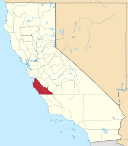
 Metz Location in California | |
| Coordinates: 36°21′18″N 121°12′42″W / 36.35500°N 121.21167°WCoordinates: 36°21′18″N 121°12′42″W / 36.35500°N 121.21167°W | |
| Country | United States |
| State | California |
| County | Monterey County |
| Elevation[1] | 236 ft (72 m) |
Metz (formerly, Chalone) is an unincorporated community in the Salinas Valley, in Monterey County, California.[1] It is located on the Southern Pacific Railroad and County Route G15, 3 miles (4.8 km) northeast of Greenfield,[2] at an elevation of 236 feet (72 m).[1]
History
The first European land exploration of Alta California, the Spanish Portolá expedition, camped in this vicinity on September 27, 1769, having followed the Salinas River from the south.[3]
A post office operated at Metz from 1888 to 1933.[2]
The place was originally called Chalone when the railroad was built to the site in 1886.[2] Upon the establishment of the post office, the settlement was renamed Metz in honor of W.H.H. Metz, its first postmaster.[2]
References
- 1 2 3 U.S. Geological Survey Geographic Names Information System: Metz, California
- 1 2 3 4 Durham, David L. (1998). California's Geographic Names: A Gazetteer of Historic and Modern Names of the State. Clovis, Calif.: Word Dancer Press. p. 924. ISBN 1-884995-14-4.
- ↑ Bolton, Herbert E. (1927). Fray Juan Crespi: Missionary Explorer on the Pacific Coast, 1769-1774. HathiTrust Digital Library. pp. 198–199. Retrieved April 2014. Check date values in:
|access-date=(help)
This article is issued from Wikipedia - version of the 9/11/2015. The text is available under the Creative Commons Attribution/Share Alike but additional terms may apply for the media files.