Sans, California
| Sans | |
|---|---|
| Former settlement | |
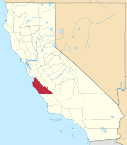
 Sans Location in California | |
| Coordinates: 35°58′24″N 121°20′22″W / 35.97333°N 121.33944°WCoordinates: 35°58′24″N 121°20′22″W / 35.97333°N 121.33944°W | |
| Country | United States |
| State | California |
| County | Monterey County |
| Elevation[1] | 1,316 ft (401 m) |
Sans is a former settlement in Monterey County, California.[1] It was located 9 miles (14 km) northeast of Cape San Martin,[2] at an elevation of 1316 feet (401 m).[1] Sans still appeared on USGS maps as of 1921.[1]
Sans was located near the Nacimiento River and hosted the Nacimiento School.[2]
References
This article is issued from Wikipedia - version of the 10/1/2014. The text is available under the Creative Commons Attribution/Share Alike but additional terms may apply for the media files.