Elmdale, Indiana
| Elmdale | |
|---|---|
| Unincorporated community | |
|
The corner of Old 55 and County Road 600 West. | |
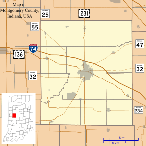 Elmdale Location in Montgomery County | |
| Coordinates: 40°08′12″N 87°01′03″W / 40.13667°N 87.01750°WCoordinates: 40°08′12″N 87°01′03″W / 40.13667°N 87.01750°W | |
| Country | United States |
| State | Indiana |
| County | Montgomery |
| Township | Coal Creek |
| Elevation | 827 ft (252 m) |
| ZIP code | 47933 |
| FIPS code | 18-20890[1] |
| GNIS feature ID | 434127[2] |
Elmdale is an unincorporated community in Coal Creek Township, Montgomery County, Indiana.
Geography
Elmdale is located at 40°08′12″N 87°01′03″W / 40.13667°N 87.01750°W.
References
- ↑ "American FactFinder". United States Census Bureau. Retrieved 2008-01-31.
- ↑ "Elmdale, Indiana". Geographic Names Information System. United States Geological Survey. Retrieved 2009-10-17.
Municipalities and communities of Montgomery County, Indiana, United States | ||
|---|---|---|
| City | ||
| Towns | ||
| Townships | ||
| CDP | ||
| Other unincorporated communities |
| |
This article is issued from Wikipedia - version of the 7/29/2014. The text is available under the Creative Commons Attribution/Share Alike but additional terms may apply for the media files.