Darlington Woods, Indiana
| Darlington Woods | |
|---|---|
| Unincorporated community | |
 Darlington Woods Location in Montgomery County | |
| Coordinates: 40°07′11″N 86°48′19″W / 40.11972°N 86.80528°WCoordinates: 40°07′11″N 86°48′19″W / 40.11972°N 86.80528°W | |
| Country | United States |
| State | Indiana |
| County | Montgomery |
| Township | Franklin |
| Elevation[1] | 784 ft (239 m) |
| GNIS feature ID | 433319[2] |
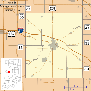
Darlington Woods is an Unincorporated community in Montgomery County, Indiana, United States, and encompasses an area east of CR 400 East, south of CR 570 North, south to CR 400 North and CR 700 East. The woods basically follows the Sugar Creek corridor.
History
Darlington Woods was a popular hunting spot for residents of the town of Darlington. Deer, pheasant, quail, rabbit, etc. are all plentiful in the area. The Darlington Covered Bridge resides on the southern edge of the wood and was built in 1868.
During the depression, many hobos who rode the Pennsylvania Rail Road-Vandalia line, which passed through Darlington, would build camps in the wood. Several of these people were ill or drunkards. Many of them died in the woods. To this day, it is believed that Darlington Woods is inhabited by spirits and ghosts. Paranormal activity is regularly reported in this area.
References
- ↑ "US Board on Geographic Names". United States Geological Survey. 2007-10-25. Retrieved 2008-01-31.
- ↑ "Darlington Woods". Geographic Names Information System. United States Geological Survey.
Municipalities and communities of Montgomery County, Indiana, United States | ||
|---|---|---|
| City | ||
| Towns | ||
| Townships | ||
| CDP | ||
| Other unincorporated communities |
| |