Corbin, Montana
| Corbin, Montana | |
|---|---|
| Populated Place | |
 Corbin, Montana  Corbin, Montana | |
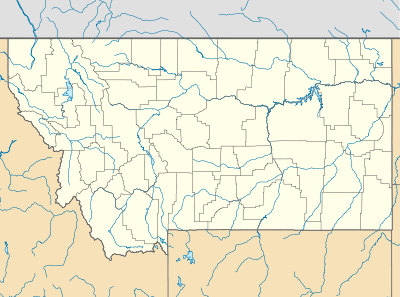
| Coordinates: 46°22′50″N 112°03′43″W / 46.38056°N 112.06194°WCoordinates: 46°22′50″N 112°03′43″W / 46.38056°N 112.06194°W | |
| Country | United States |
| State | Montana |
| County | Jefferson |
| Elevation | 4,775 ft (1,455 m) |
| Population | |
| • Total | N/A |
| Time zone | Mountain (MST) (UTC-7) |
| • Summer (DST) | MDT (UTC-6) |
| Area code(s) | 406 |
| GNIS feature ID | 770091 |
Corbin is an unincorporated community and Ghost Town in Jefferson County, Montana, United States about 2 miles West of Jefferson City and accessible from the I 15 Jefferson City intersection and following Corbin Road. Corbin is part of the Helena micropolitan area.
History
Corbin was in important mining town in the 1890s and included a stamp mill and heavy infrastructure for the time which yielded decent amounts of gold and silver. Alta Mine in particular, was a major silver mine in the area which the town developed around. A post office was active in Corbin from 1887 until 1943.
Today the Alta mine is no longer in operation and Corbin is a ghost town, but many of the historic structures still stand today with some having been preserved and some residences are currently occupied. Lots of gold and silver mining is also still occurring in the area but Corbin itself has peaked and declined.
References
http://montana.hometownlocator.com/mt/jefferson/corbin.cfm
Municipalities and communities of Jefferson County, Montana, United States | ||
|---|---|---|
| Towns | 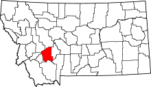 | |
| CDPs | ||
| Unincorporated communities | ||