Volcanoville, California
Coordinates: 38°58′55″N 120°47′21″W / 38.98194°N 120.78917°W
| Volcanoville | |
|---|---|
| Unincorporated community | |
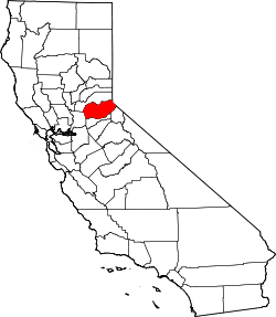
 Volcanoville  Volcanoville Location in California | |
| Coordinates: 38°58′55″N 120°47′21″W / 38.98194°N 120.78917°W | |
| Country | United States |
| State | California |
| County | El Dorado County |
| Elevation[1] | 2,992 ft (912 m) |
Volcanoville is an unincorporated community in El Dorado County, California.[1] It is located 6 miles (9.7 km) north-northeast of Georgetown,[2] at an elevation of 2992 feet (912 m).[1]
A post office operated at Volcanoville from 1930 to 1953.[2] The name is due to early miners' mistaken belief that a nearby mountain was an extinct volcano.[2] Volcanoville has been noted for its unusual place name.[3]
Education
The Black Oak Mine Unified School District serves Garden Valley.[4]
References
- 1 2 3 U.S. Geological Survey Geographic Names Information System: Volcanoville, California
- 1 2 3 Durham, David L. (1998). California's Geographic Names: A Gazetteer of Historic and Modern Names of the State. Clovis, Calif.: Word Dancer Press. p. 573. ISBN 1-884995-14-4.
- ↑ Thompson, George E. (1 July 2009). You Live Where?: Interesting and Unusual Facts about where We Live. iUniverse. p. 12. ISBN 978-1-4401-3421-0.
- ↑ Home page. Black Oak Mine Unified School District. July 20, 2002. Retrieved on October 27, 2010.
This article is issued from Wikipedia - version of the 10/9/2016. The text is available under the Creative Commons Attribution/Share Alike but additional terms may apply for the media files.