Rubicon Springs, California
Not to be confused with Rubicon, California.
Coordinates: 39°01′03″N 120°14′56″W / 39.01750°N 120.24889°W
| Rubicon Springs | |
|---|---|
| Former settlement | |
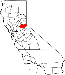
 Rubicon Springs Location in California | |
| Coordinates: 39°01′03″N 120°14′56″W / 39.01750°N 120.24889°W | |
| Country | United States |
| State | California |
| County | El Dorado County |
| Elevation[1] | 6,165 ft (1,879 m) |
Rubicon Springs is a former settlement in El Dorado County, California.[1] It lay at an elevation of 6165 feet (1879 m).[1] It still appeared on maps as of 1940.[1] The natural springs were harnessed for a resort by the 1860s.[2] By 1909, a hotel and summer cottages had been erected.[2]
References
This article is issued from Wikipedia - version of the 1/13/2011. The text is available under the Creative Commons Attribution/Share Alike but additional terms may apply for the media files.