Pilot Hill, California
Coordinates: 38°50′06″N 121°00′52″W / 38.83500°N 121.01444°W
| Pilot Hill | |
|---|---|
| Unincorporated community | |
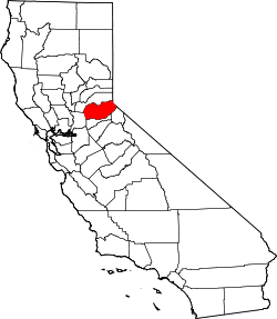
 Pilot Hill  Pilot Hill Location in California | |
| Coordinates: 38°50′06″N 121°00′52″W / 38.83500°N 121.01444°W | |
| Country | United States |
| State | California |
| County | El Dorado County |
| Elevation[1] | 1,175 ft (358 m) |
Pilot Hill (formerly, Centerville, Pilothill, and Pittsfield) is an unincorporated community in El Dorado County, California.[1] It is located 13 miles (21 km) west-northwest of Placerville,[2] at an elevation of 1175 feet (358 m).[1]
In 1849, mining commenced at Pilot Hill.[2] Originally, Centerville, Pilot Hill, and Pittsfield were separate nearby mining camps that unified under the name Centerville.[2] The post office came in 1854 and bestowed the name Pilot Hill.[2] Farm Trails - Pilot Hill is on the Farm Trails Map. Lavender, Olives and Grapes can be picked seasonally at Enchanted April Farm on historic Salmon Falls Road in Pilot Hill.
References
This article is issued from Wikipedia - version of the 7/5/2016. The text is available under the Creative Commons Attribution/Share Alike but additional terms may apply for the media files.