Riverton, California
Coordinates: 38°46′16″N 120°26′58″W / 38.77111°N 120.44944°W
| Riverton | |
|---|---|
| Unincorporated community | |
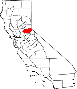
 Riverton  Riverton Location in California | |
| Coordinates: 38°46′16″N 120°26′58″W / 38.77111°N 120.44944°W | |
| Country | United States |
| State | California |
| County | El Dorado County |
| Elevation[1] | 3,238 ft (987 m) |
| Official name | Moore's (Riverton)-Overland Pony Express route in California |
| Reference no. | 705 |
Riverton (formerly, Moore's Station[1] and Moores[2]) is a small unincorporated community in El Dorado County, California.[1] It is located on the South Fork of the American River 8.5 miles (14 km) west of Kyburz,[2] at an elevation of 3238 feet (987 m).[1] The ZIP code is 95726. The community is inside area code 530.
The place was on a toll road operated by John M. Moore, and was originally called Moore's Station.[2] A post office operated at Riverton from 1893 to 1898.[2] The community is now registered as California Historical Landmark #705.[3]
References
- 1 2 3 4 U.S. Geological Survey Geographic Names Information System: Riverton, California
- 1 2 3 4 Durham, David L. (1998). California's Geographic Names: A Gazetteer of Historic and Modern Names of the State. Clovis, Calif.: Word Dancer Press. p. 546. ISBN 1-884995-14-4.
- ↑ "Moore (Riverton)". Office of Historic Preservation, California State Parks. Retrieved 2012-10-07.
This article is issued from Wikipedia - version of the 7/5/2016. The text is available under the Creative Commons Attribution/Share Alike but additional terms may apply for the media files.