Redbud Park, California
| Redbud Park | |
|---|---|
| Former settlement | |
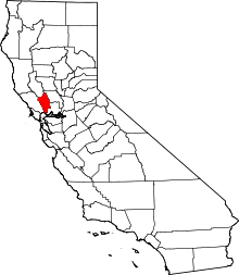
 Redbud Park Location in California | |
| Coordinates: 38°31′10″N 122°08′14″W / 38.51944°N 122.13722°WCoordinates: 38°31′10″N 122°08′14″W / 38.51944°N 122.13722°W | |
| Country |
|
| State |
|
| County | Napa County |
| Elevation[1] | 135 m (443 ft) |
Redbud Park is a former settlement in Napa County, California.[1] It lay at an elevation of 443 feet (135 m).[1] Redbud Park was located on Putah Creek 10.5 miles (16.9 km) south-southeast of Berryessa Peak.[2]
The place is now under Lake Berryessa.[2]
References
This article is issued from Wikipedia - version of the 9/12/2015. The text is available under the Creative Commons Attribution/Share Alike but additional terms may apply for the media files.