Barro, California
| Barro | |
|---|---|
| unincorporated community | |
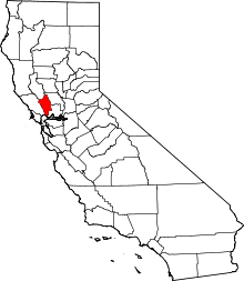
 Barro  Barro Location in California | |
| Coordinates: 38°31′34″N 122°29′34″W / 38.52611°N 122.49278°WCoordinates: 38°31′34″N 122°29′34″W / 38.52611°N 122.49278°W | |
| Country |
|
| State |
|
| County | Napa County |
| Elevation[1] | 236 ft (72 m) |
Barro is an unincorporated community in Napa County, California.[1] It lies at an elevation of 236 feet (72 m).[1] Barro is located on the Southern Pacific Railroad, 2 miles (3.2 km) northwest of Saint Helena.[2]
This area is noted for its wine production and has numerous landmarks such as the Freemark Abbey Winery and the Wine Inn. The Napa River flows through the community.
References
This article is issued from Wikipedia - version of the 7/5/2016. The text is available under the Creative Commons Attribution/Share Alike but additional terms may apply for the media files.