Imola, California
| Imola | |
|---|---|
| unincorporated community | |
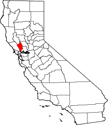
 Imola  Imola Location in California | |
| Coordinates: 38°16′43″N 122°16′50″W / 38.27861°N 122.28056°WCoordinates: 38°16′43″N 122°16′50″W / 38.27861°N 122.28056°W | |
| Country |
|
| State |
|
| County | Napa County |
| Elevation[1] | 7 ft (2 m) |
Imola is an unincorporated community in Napa County, California.[1] It lies at an elevation of 7 feet (2 m).[1] Imola is located on the Southern Pacific Railroad, 1.25 miles (2.0 km) south of Napa.[2]
The Imola post office opened in 1920, and closed in 1953.[2]
Imola was the site of the Napa State Hospital (originally housing people diagnosed "insane"). Imola was named for Imola in Italy, which also hosted an insane asylum.[2] Parts of Imola were annexed to the city of Napa, other parts remain unincorporated.
There currently is no such town as Imola. It is a street located in the town of Napa. However, geotags on photos may be mismarked with a location called Imola.
References
This article is issued from Wikipedia - version of the 7/5/2016. The text is available under the Creative Commons Attribution/Share Alike but additional terms may apply for the media files.