National Register of Historic Places listings in Hempstead County, Arkansas

Location of Hempstead County in Arkansas
This is a list of the National Register of Historic Places listings in Hempstead County, Arkansas.
This is intended to be a complete list of the properties and districts on the National Register of Historic Places in Hempstead County, Arkansas, United States. The locations of National Register properties and districts for which the latitude and longitude coordinates are included below, may be seen in a map.[1]
There are 29 properties and districts listed on the National Register in the county, including 1 National Historic Landmark. Another 4 properties were once listed but have been removed.
- This National Park Service list is complete through NPS recent listings posted December 16, 2016.[2]
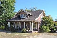
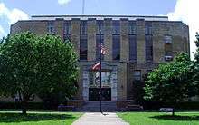
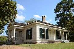
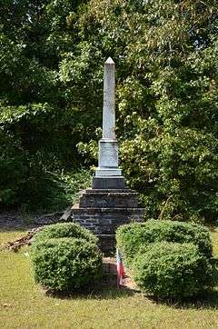
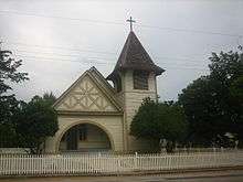
Current listings
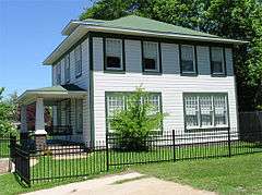
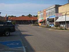
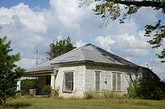
.jpg)
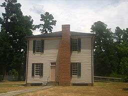

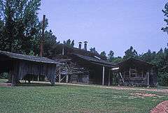

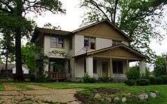
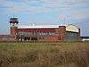
_train_station.jpg)

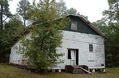
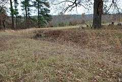
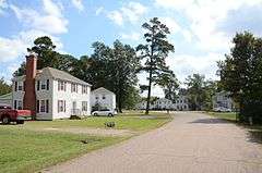
_001.jpg)
Former listings
| [3] | Name on the Register | Image | Date listed | Date removed | Location | City or town | Summary |
|---|---|---|---|---|---|---|---|
| 1 | Carrigan House | 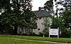 |
(#78000591) | 704 W. Avenue B |
Hope | ||
| 2 | Columbus Presbyterian Church | Upload image | (#82000823) | Highway 73 33°46′42″N 93°49′03″W / 33.778333°N 93.8175°W |
Columbus | Listed November 17, 1982. Destroyed by fire[8] | |
| 3 | Dr. Thomas S. Jacques House | Upload image | (#89001940) | Northwest of McCaskill |
McCaskill | ||
| 4 | Ozan Methodist Church | Upload image | (#82000827) | Mulberry St. |
Ozan |
See also
| Wikimedia Commons has media related to National Register of Historic Places in Hempstead County, Arkansas. |
- List of National Historic Landmarks in Arkansas
- National Register of Historic Places listings in Arkansas
References
- ↑ The latitude and longitude information provided in this table was derived originally from the National Register Information System, which has been found to be fairly accurate for about 99% of listings. For about 1% of NRIS original coordinates, experience has shown that one or both coordinates are typos or otherwise extremely far off; some corrections may have been made. A more subtle problem causes many locations to be off by up to 150 yards, depending on location in the country: most NRIS coordinates were derived from tracing out latitude and longitudes off of USGS topographical quadrant maps created under the North American Datum of 1927, which differs from the current, highly accurate WGS84 GPS system used by most on-line maps. Chicago is about right, but NRIS longitudes in Washington are higher by about 4.5 seconds, and are lower by about 2.0 seconds in Maine. Latitudes differ by about 1.0 second in Florida. Some locations in this table may have been corrected to current GPS standards.
- ↑ "National Register of Historic Places: Weekly List Actions". National Park Service, United States Department of the Interior. Retrieved on December 16, 2016.
- 1 2 Numbers represent an ordering by significant words. Various colorings, defined here, differentiate National Historic Landmarks and historic districts from other NRHP buildings, structures, sites or objects.
- ↑ National Park Service (2009-03-13). "National Register Information System". National Register of Historic Places. National Park Service.
- ↑ The eight-digit number below each date is the number assigned to each location in the National Register Information System database, which can be viewed by clicking the number.
- ↑ Location derived from "August Fieldwork at Dooley's Ferry", Kadohadacho Chapter of the Arkansas Archeological Society, September 2008, accessed 2009-12-15; and coordinates derived from the GNIS feature record for Dooley's Ferry. The NRIS lists the site as "Address Restricted".
- ↑ U.S. Geological Survey Geographic Names Information System: Mounds Cemetery
- 1 2 McLemore, Ken (April 10, 2013). "Cemetery on Nomination List". Hope Star. Retrieved June 18, 2013.
| Topics | |
|---|---|
| Lists by states |
|
| Lists by insular areas | |
| Lists by associated states | |
| Other areas | |
| |
Municipalities and communities of Hempstead County, Arkansas, United States | ||
|---|---|---|
| Cities | | |
| Towns | ||
| Unincorporated communities | ||
| Footnotes | ‡This populated place also has portions in an adjacent county or counties | |
This article is issued from Wikipedia - version of the 10/24/2016. The text is available under the Creative Commons Attribution/Share Alike but additional terms may apply for the media files.