Circumferential Road 2
| C-2 Road | |
|---|---|
| Circumferential Road 2 | |
 | |
| Major junctions | |
| north end: | Marcos Road in Tondo, Manila |
| south end: | Roxas Boulevard in Malate, Manila |
| Highway system | |
| Highways in the Philippines | |
Circumferential Road 2 is a 2-12 lane network of roads and segments that altogether form the second circumferential road that acts as a beltway of the City of Manila. It is the Second Circumferential Road, labeled C-2 in the Manila Arterial Road System. It is a route running inside the city of Manila proper, passing through the Paco, Ermita and Malate districts.[1][1][2]
History
Since the C-2 road have many segments, a single history of the entire road network is uncertain. The Quirino Avenue extension was constructed during the time of the Spanish occupation as the Calle Canonigo, connecting Paco with the Pandacan District. It was later extended to Calle Herran (now the Pedro Gil Street). The upper portion, Calle Tayuman, was built near the end of the Spanish era.
During the term of President Ferdinand Marcos, following the proposal of Former President Diosdado Macapagal, the roads were interconnected to form the C-2 Road. The road consists of the C-2 Road (Calle Capulong), Calle Tayuman, Governor Forbes, Calle Nagtahan, and Calle Canonigo. It also followed the construction of the Nagtahan Bridge, which had been the widest bridge of the Pasig River back then, before the construction of the Guadalupe Bridge in Makati.
Then, the Calle Canonigo was renamed President Elpidio Quirino Avenue to honor President Elpidio Quirino. The road leading to Nagtahan Bridge from Harrison Boulevard was also named Quirino Avenue. Governor Forbes was later renamed Arsenio H Lacson Avenue.
Parts of the C-2 Road
Capulong Street
Also known as the C-2 Road, Capulong Street starts from the Marcos Road and ends in Juan Luna Street. It becomes the Tayuman Street after crossing the road. It is the main thoroughfare of the Tondo district of Manila.
Tayuman Street
Tayuman Street is a 4-lane main thoroughfare of the districts of Tondo and Santa Cruz Districts. It starts from the Juan Luna Street, and ends in a junction with Lacson Avenue. The entire road is considered as a part of the C-2 Road.
Lacson Avenue (Formerly Governor Forbes Avenue)
Starts from the junction of Tayuman Street and Andalucia Street and ends in the Mabini Flyover (Nagtahan Flyover), skirting the old San Lazaro Hippodrome.
Quirino Avenue
Is the main section connecting Lacson Avenue via the Mabini Bridge (Nagtahan Bridge) in Santa Mesa to Roxas Boulevard in Malate.[3]
Major Intersections
Intersections indicated in bold are intersections with stoplights.
Capulong Street and Calle Tayuman
- Raxa Bago Street (F.P. Yuseco Street)
- Juan Luna Street
- Abad Santos Avenue
- Rizal Avenue
- Alfonso Mendoza Street
Arsenio H. Lacson Avenue
- Laong Laan Street, Dimasalang Street (5-way Intersection)
- Dapitan Street (One way)
- España Boulevard
- M. Earnshaw Street
- Ermita Interchange: junctions of J.P. Laurel Street, Legarda Street, Magsaysay Boulevard and Lacson Avenue, triple grade separations.
Quirino Avenue
- P.M. Guazon, Jesus Street
- Tomas Claudio Street
- Plaza Dilao Partial Roundabout
- Pedro Gil Street, Pasig Line
- South Luzon Expressway (Osmena Highway) junction NB
- San Andres Street/Taft Avenue (6-way Intersection)
- A. Mabini/Harrison Avenue
- Roxas Boulevard
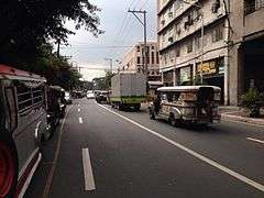
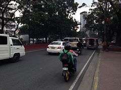
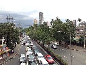
Gallery
See also
References
- 1 2 Page Nation. "President Elpidio Quirino Avenue". Creative-commons. Retrieved July 2012. Check date values in:
|access-date=(help) - ↑ Simbianize.com. "Drivers Tell Horror Stories About Quirino Avenue". Anonymous. Anonymous. Retrieved July 2012. Check date values in:
|access-date=(help) - ↑ Citiatlas Metro Manila. Asiatype. 2002. p. 183. ISBN 978-971-91719-5-9.