Alamorio, California
Coordinates: 32°58′45″N 115°27′41″W / 32.97917°N 115.46139°W
| Alamorio | |
|---|---|
| Unincorporated community | |
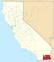
 Alamorio  Alamorio Location in California | |
| Coordinates: 32°58′45″N 115°27′41″W / 32.97917°N 115.46139°W | |
| Country | United States |
| State | California |
| County | Imperial County |
| Elevation[1] | -128 ft (-40 m) |
Alamorio is an unincorporated community in Imperial County, California.[1] It is located 12.5 miles (20 km) north-northwest of Holtville,[2] at an elevation of 128 feet (40 m) below sea level.[1] The community resides along the Alamo River, and was named by combining the Spanish words alamo (meaning "poplar" or "cottonwood") and rio (meaning "river").[3]
A post office operated at Alamorio from 1909 to 1917.[2]
References
- 1 2 3 U.S. Geological Survey Geographic Names Information System: Alamorio, California
- 1 2 Durham, David L. (1998). California's Geographic Names: A Gazetteer of Historic and Modern Names of the State. Clovis, Calif.: Word Dancer Press. p. 1387. ISBN 1-884995-14-4.
- ↑ William Bright; Erwin Gustav Gudde (30 November 1998). 1500 California place names: their origin and meaning. University of California Press. p. 12. ISBN 978-0-520-21271-8. Retrieved 20 January 2012.
This article is issued from Wikipedia - version of the 10/14/2016. The text is available under the Creative Commons Attribution/Share Alike but additional terms may apply for the media files.