Cactus, California
Coordinates: 32°51′44″N 114°53′49″W / 32.86222°N 114.89694°W
| Cactus | |
|---|---|
| Unincorporated community | |
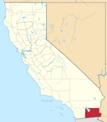
 Cactus  Cactus Location in California | |
| Coordinates: 32°51′44″N 114°53′49″W / 32.86222°N 114.89694°W | |
| Country | United States |
| State | California |
| County | Imperial County |
| Elevation[1] | 394 ft (120 m) |
Cactus is an unincorporated community in Imperial County, California.[1] It is located on the Southern Pacific Railroad 4.5 miles (7.2 km) northwest of Ogilby,[2] at an elevation of 394 feet (120 m).[1]
A post office operated in Cactus for a time in 1883, and from 1885 to 1886.[2] Cactus was originally a railroad construction camp.[2]
References
This article is issued from Wikipedia - version of the 7/5/2016. The text is available under the Creative Commons Attribution/Share Alike but additional terms may apply for the media files.