Phổ Yên District
| Phổ Yên District-lever town Thị xã Phổ Yên | |
|---|---|
| Rural district | |
 Phổ Yên District-lever town | |
| Coordinates: VN 21°27′08″N 105°45′19″E / 21.45222°N 105.75528°E | |
| Country |
|
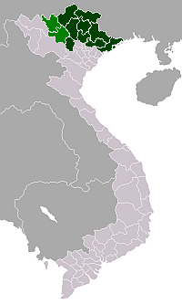
| Region | Northeast |
| Province | Thái Nguyên |
| Capital | Ba Hàng |
| Area | |
| • Total | 99 sq mi (257 km2) |
| Population (2003) | |
| • Total | 135,711 |
| Time zone | UTC + 7 (UTC+7) |
Phổ Yên is a district-level town of Thái Nguyên Province in the northeastern region of Vietnam. As of 2003, the town had a population of 135,711.[1] The town covers an area of 257 km². The town capital lies at Ba Hàng.
Administrative divisions
Ba Hàng, Bãi Bông, Bắc Sơn, Đắc Sơn, Đông Cao, Đồng Tiến, Hồng Tiến, Minh Đức, Nam Tiến, Phúc Thuận, Phúc Tân, Tân Hương, Tân Phú, Thành Công, Tiên Phong, Thuận Thành, Trung Thành, Vạn Phái
References
- ↑ "Districts of Vietnam". Statoids. Retrieved March 23, 2009.
Coordinates: 21°25′01″N 105°45′00″E / 21.417°N 105.750°E
This article is issued from Wikipedia - version of the 7/22/2016. The text is available under the Creative Commons Attribution/Share Alike but additional terms may apply for the media files.