Đồng Hỷ District
Coordinates: 21°40′42.55″N 105°51′6.22″E / 21.6784861°N 105.8517278°E
| Đồng Hỷ District Huyện Đồng Hỷ | |
|---|---|
| Rural district | |
 Đồng Hỷ District | |
| Coordinates: VN 21°41′10″N 105°55′43″E / 21.68611°N 105.92861°E | |
| Country |
|
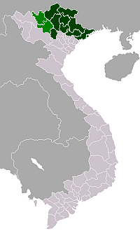
| Region | Northeast |
| Province | Thái Nguyên |
| Capital | Chùa Hang |
| Area | |
| • Total | 178 sq mi (462 km2) |
| Population (2003) | |
| • Total | 122,932 |
| Time zone | UTC + 7 (UTC+7) |
Đồng Hỷ is a rural district of Thái Nguyên Province in the Northeast region of Vietnam. The Soi River flows through the district. As of 2003, the district had a population of 122,932 .[1] The district covers an area of 462 km². The district capital lies at Chùa Hang.[1]
Administrative divisions
Chùa Hang, Trại Cau, Sông Cầu, Hóa Thượng, Huống Thượng, Nam Hòa, Tân Lợi, Cây Thị, Hợp Tiến, Khe Mo, Văn Hán, Hóa Trung, Quang Sơn, Văn Lăng, Tân Long, Hòa Bình, Minh Lập, Linh Sơn.
References
- 1 2 "Districts of Vietnam". Statoids. Retrieved March 23, 2009.
This article is issued from Wikipedia - version of the 10/29/2013. The text is available under the Creative Commons Attribution/Share Alike but additional terms may apply for the media files.