Lạng Giang District
| Lang Giang District Huyện Lạng Giang | |
|---|---|
| Rural district | |
| Country |
|
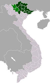
| Province | Bắc Giang |
| Capital | Voi |
| Area | |
| • Total | 95 sq mi (246 km2) |
| Population | |
| • Total | 184,956 |
| Time zone | UTC + 7 (UTC+7) |
Lạng Giang is a rural district of Bắc Giang Province in the northeast region of Vietnam. As of 2003 the district had a population of 184,956.[1] The district covers an area of 246 km². The district capital lies at Voi.[1] Cấm Sơn lake is found here.
Administrative divisions
The district is split administratively into one township Kép and the following communes:
Dĩnh Tri, Thái Đào, Đại Lâm, Tân Dĩnh, Xương Lâm, Tân Hưng, Hương Sơn, Xuân Hương, Mỹ Thái, Phi Mô, Tân Thanh, Mỹ Hà, Tiên Lục, Đào Mỹ, An Hà, Tân Thịnh, Hương Lạc, Nghĩa Hưng, Nghĩa Hòa, Quang Thịnh, Dương Đức, Yên Mỹ.
References
- 1 2 "Districts of Vietnam". Statoids. Retrieved March 13, 2009.
Coordinates: 21°22′01″N 106°15′00″E / 21.367°N 106.250°E
This article is issued from Wikipedia - version of the 9/25/2016. The text is available under the Creative Commons Attribution/Share Alike but additional terms may apply for the media files.