Nishi-Chugoku Sanchi Quasi-National Park
| Nishi-Chūgoku Sanchi Quasi-National Park | |
|---|---|
| 西中国山地国定公園 | |
|
| |
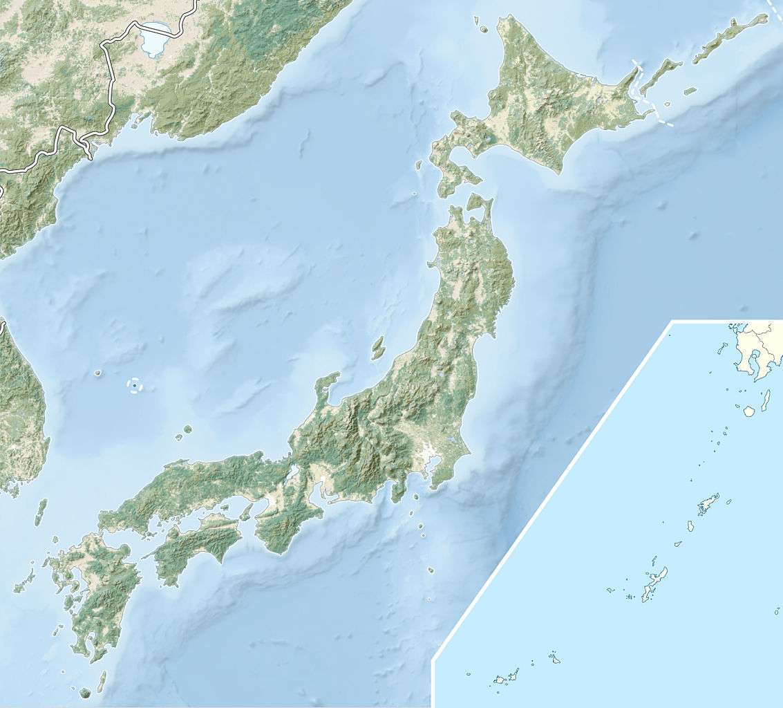 Map of Japan | |
| Location | Shimane/Hiroshima/Yamaguchi Prefecture, Japan |
| Coordinates | 34°31′19″N 132°06′36″E / 34.522°N 132.11°ECoordinates: 34°31′19″N 132°06′36″E / 34.522°N 132.11°E[1] |
| Area | 285.53 km2 (110.24 sq mi) |
| Established | January 10, 1969 |

Nishi-Chūgoku Sanchi Quasi-National Park (西中国山地国定公園 Nishi-Chūgoku-sanchi Kokutei Kōen) is a Quasi-National Park in Shimane Prefecture, Hiroshima Prefecture, and Yamaguchi Prefecture, Japan.[2][3] It was founded on 10 January 1969 and has an area of 285.53 km2 (110.24 sq mi).[4]
Overview
There are many beautiful mountain and ravines including Mount Osorakan (恐羅漢山 Osorakan-zan), Mount Kanmuri (Hatsukaichi, Hiroshima) (吉和冠山 Yoshiwa Kanmuri-yama), Sandan ravine (三段峡 Sandan-kyō), Hikimi ravine (匹見峡 Hikimi-kyō) and Jakuchi ravine (寂地峡 Jakuchi-kyō).
There are virgin forests of Japanese beeches, Japanese oaks and Japanese horse chestnut.
There are Asiatic black bears, Japanese macaques, mountain hawk eagles and Japanese giant salamanders.
Mountains
- Mount Osorakan 1,346 m (4,416 ft)
- Mount Kanmuri (Mount Yoshiwa Kanmuri) 1,339 m (4,393 ft)
- Mount Jakuchi 1,337 m (4,386 ft)
- Mount Garyu 1,223 m (4,012 ft)
- Mount Asa 1,218 m (3,996 ft)
Ravines
- Sandan-kyō
- Hikimi-kyō
- Fukatani-kyō
- Jakuchi-kyō
- Souzu-kyō
See also
| Wikimedia Commons has media related to Nishi-Chugoku Sanchi Quasi-National Park. |
References
- ↑ "Nishi Chugoku Sanchi Quasi National Park". protectedplanet.net.
- ↑ "西中国山地国定公園". Ministry of the Environment. Retrieved 10 May 2011.
- ↑ "大和青垣/高野龍神/比婆道後帝釈/西中国山地". National Parks Association of Japan. Retrieved 10 May 2011.
- ↑ "List of National Parks". Ministry of the Environment. Retrieved 10 May 2011.
External links
This article is issued from Wikipedia - version of the 11/19/2016. The text is available under the Creative Commons Attribution/Share Alike but additional terms may apply for the media files.