Aceguá
| Aceguá | |||
|---|---|---|---|
| Municipality | |||
| |||
 Location within Rio Grande do Sul | |||
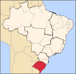
 Aceguá Location in Brazil | |||
| Coordinates: 31°52′00″S 54°09′00″W / 31.86667°S 54.15000°W | |||
| Country |
| ||
| State | Rio Grande do Sul | ||
| Founded | 16 April 1996 | ||
| Government | |||
| • Mayor | Glécio Rodrigues | ||
| Area | |||
| • Total | 1,549,522 km2 (598,274 sq mi) | ||
| Population (2010) | |||
| • Total | 4,394 | ||
| • Density | 0.0028/km2 (0.0073/sq mi) | ||
| Time zone | UTC-3 (UTC-3) | ||
| • Summer (DST) | UTC-2 (UTC-2) | ||
| Website | http://www.acegua.rs.gov.br/ | ||


Aceguá is a municipality in the state Rio Grande do Sul, Brazil.
Paleontology
Here are outcrops located between the City of Aceguá and Bagé, located along the highway BR-153. They are Rio do Rasto Formation and Late Permian age.
See also
This article is issued from Wikipedia - version of the 5/15/2016. The text is available under the Creative Commons Attribution/Share Alike but additional terms may apply for the media files.