Rio Pardo
For the Brazilian rivers, see Pardo River. For the Brazilian tribe, see Rio Pardo (tribe).
| Rio Pardo | |
|---|---|
| Municipality | |
 Location in Rio Grande do Sul state | |
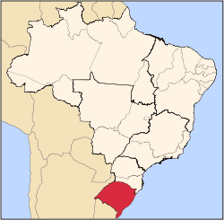
 Rio Pardo Location in Brazil | |
| Coordinates: 29°59′23″S 52°22′41″W / 29.98972°S 52.37806°WCoordinates: 29°59′23″S 52°22′41″W / 29.98972°S 52.37806°W | |
| Country |
|
| Region | South Region |
| State | Rio Grande do Sul |
| Area | |
| • Total | 2,051 km2 (792 sq mi) |
| Elevation | 41 m (135 ft) |
| Population (2015) | |
| • Total | 38,934 |
| • Density | 19/km2 (49/sq mi) |
| Time zone | BRT/BRST (UTC-3/-2) |
Rio Pardo is a municipality in the state of Rio Grande do Sul in Brazil. The population is 38,934 (2015 est.) in an area of 2051 km².[1] The elevation is 41 m.
References
This article is issued from Wikipedia - version of the 5/15/2016. The text is available under the Creative Commons Attribution/Share Alike but additional terms may apply for the media files.