Tunxis State Forest
| Tunxis State Forest | |
| Connecticut State Forest | |
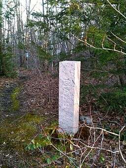 Massachusetts-Connecticut boundary marker on northern border of Tunxis State Forest in Hartland (near northern end of Pell Road). | |
| Country | |
|---|---|
| State | |
| County | Hartford |
| Towns | Hartland, Barkhamsted, Granby |
| Elevation | 1,014 ft (309 m) [1] |
| Coordinates | 42°01′08″N 72°57′30″W / 42.01889°N 72.95833°WCoordinates: 42°01′08″N 72°57′30″W / 42.01889°N 72.95833°W [1] |
| Area | 5,519 acres (2,233 ha) [2] |
| Established | 1923 [3] |
| Management | Connecticut Department of Energy and Environmental Protection |
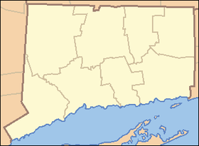 Location in Connecticut | |
| Website: Tunxis State Forest | |
Tunxis State Forest is a Connecticut state forest located in the towns of Hartland, Barkhamsted, and Granby. The forest surrounds Barkhamsted Reservoir and borders the Granville State Forest in Massachusetts.[3] The forest is used for hiking, mountain biking, cross-country skiing, fishing, hunting, and letterboxing. Several trails cross the forest, including the northern end of the blue-blazed Tunxis Trail.[4]
Additional reading
- Tunxis Mainline Trail Connecticut Museum Quest
References
- 1 2 "Tunxis State Forest". Geographic Names Information System. United States Geological Survey.
- ↑ Legislative Program Review and Investigations Committee (January 23, 2014). "State Parks and Forests: Funding" (PDF). Staff Findings and Recommendations. Connecticut General Assembly. p. A-4. Retrieved March 20, 2014.
- 1 2 "Connecticut State Forests Seedling Letterbox Series - Clues for Tunxis State Forest". State Parks and Forests. Connecticut Department of Energy and Environmental Protection. Retrieved 2013-09-28.
- ↑ "Tunxis State Forest". State Parks and Forests. Connecticut Department of Energy and Environmental Protection. Retrieved 2013-09-28.
External links
- Tunxis State Forest Connecticut Department of Energy and Environmental Protection
This article is issued from Wikipedia - version of the 11/21/2016. The text is available under the Creative Commons Attribution/Share Alike but additional terms may apply for the media files.