Teočak
| Teočak Теочак | |
|---|---|
 Location of Teočak within Bosnia and Herzegovina. | |
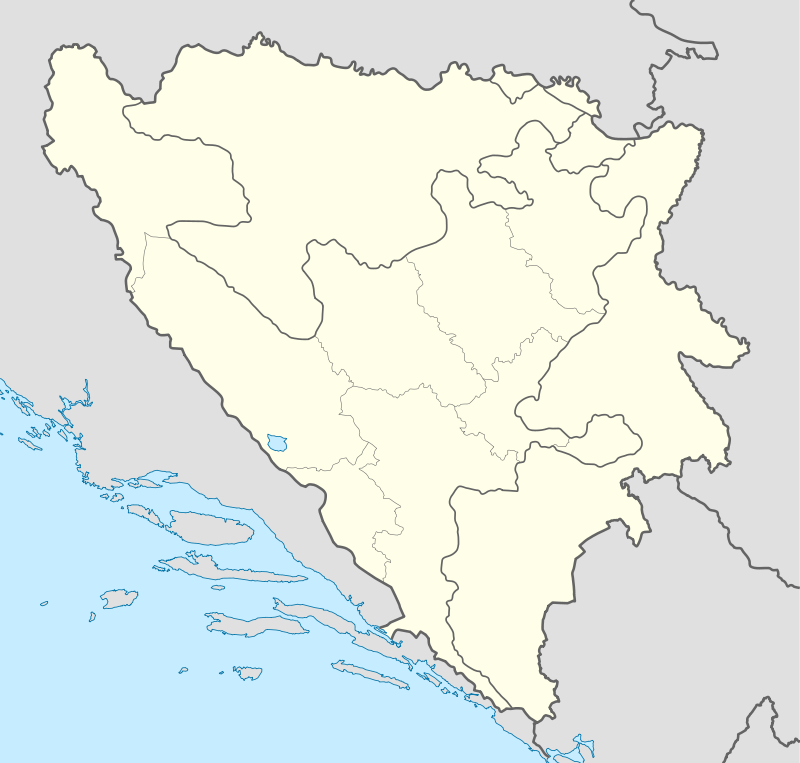 Teočak Location of Teočak | |
| Coordinates: 44°36′10″N 18°59′05″E / 44.60278°N 18.98472°ECoordinates: 44°36′10″N 18°59′05″E / 44.60278°N 18.98472°E | |
| Country |
|
| Government | |
| • Municipality president | Taib Muminović (SDA) |
| Area | |
| • Total | 29 km2 (11 sq mi) |
| Population (2013 census) | |
| • Total | 7,607 |
| • Density | 262/km2 (680/sq mi) |
| Time zone | CET (UTC+1) |
| • Summer (DST) | CEST (UTC+2) |
| Area code(s) | +387 35 |
Teočak (Cyrillic: Теочак) is a town and municipality in the northeastern part Bosnia and Herzegovina. Center of the municipality is town of Teočak.
Geography
The town of Teočak is located north of Kalesija and northeast of Tuzla. It is administratively part of the Tuzla Canton and the Federation of Bosnia and Herzegovina.
History
During the 1990s, due to the Bosnian war, the area of Teočak received several hundred Bosniak refugees from primarily the north and northeast areas of Teočak.
Before the war, Teočak was part of the Ugljevik municipality, and became itself a municipality as part of the Dayton Agreement.
Religion
The total number of mosques in the Teočak municipality is 7.[1]
Demographics
The total population of the municipality of Teočak is estimated at approximately 9,000 inhabitants.
Demographics / 1991 census
- Bosniaks - 2,831 (98.95%)
- Serbs - 15 (0.52%)
- Yugoslavs - 10 (0.34%)
- Croats - 2 (0.11%)
- others and unknown - 3 (0.5%)
Gallery
 Ancient stone balls
 View on Teočak
 Mosque in Teočak
References
- Official results from the book: Ethnic composition of Bosnia-Herzegovina population, by municipalities and settlements, 1991. census, Zavod za statistiku Bosne i Hercegovine - Bilten no.234, Sarajevo 1991.
External links
Municipalities of the Tuzla Canton | ||
|---|---|---|
| Wikimedia Commons has media related to Teočak. |