Ljubuški
| Ljubuški Љубушки | |||
|---|---|---|---|
| Municipality and town | |||
| |||
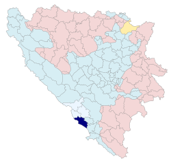 Location of Ljubuški in Bosnia and Herzegovina | |||
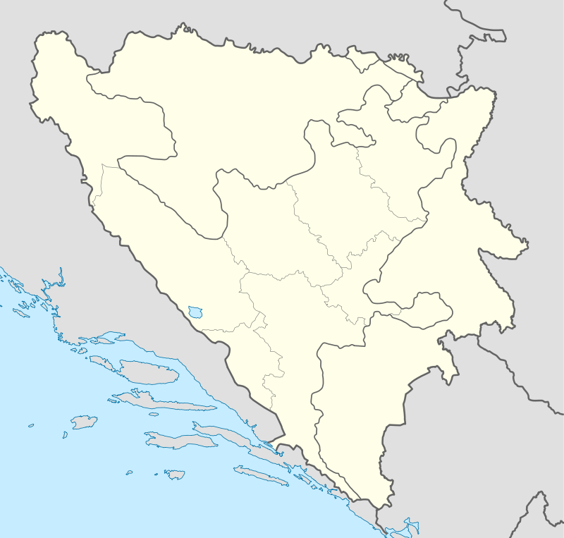 Ljubuški Location of Ljubuški in Bosnia and Herzegovina | |||
| Coordinates: BA 43°11′56.20″N 17°32′48.00″E / 43.1989444°N 17.5466667°ECoordinates: BA 43°11′56.20″N 17°32′48.00″E / 43.1989444°N 17.5466667°E | |||
| Country | Bosnia and Herzegovina | ||
| Entity | Federation of Bosnia and Herzegovina | ||
| Canton | West Herzegovina | ||
| Government | |||
| • Mayor | Nevenko Barbarić (HDZ BiH) | ||
| Area | |||
| • Total | 292.7 km2 (113.0 sq mi) | ||
| • Land | 292.7 km2 (113.0 sq mi) | ||
| • Water | 0 km2 (0 sq mi) | ||
| Population (2013) | |||
| • Total | 29,521 | ||
| • Density | 100/km2 (260/sq mi) | ||
| Time zone | CET (UTC+1) | ||
| • Summer (DST) | CEST (UTC+2) | ||
| Post code | 88320 | ||
| Area code | +387 039 | ||
| Website |
www | ||

.jpg)
Ljubuški is a town and municipality in Bosnia and Herzegovina. It is located in the West Herzegovina Canton, a unit of the Federation of Bosnia and Herzegovina.
Demographics
1971
28.269 total
- Croats - 26.198 (92,67%)
- Muslims - 1.812 (6,40%)
- Serbs - 118 (0,41%)
- Yugoslavs - 49 (0,17%)
- others - 92 (0,35%)
1991
In the 1991 census, the municipality of Ljubuški had a population of 28,340, of which 26,127 were Croats (92.1%), 1,592 Bosniaks (5.6%), 227 Yugoslavs (0.8%), 65 Serbs (0.2%), and 329 others (1.1%). The town of Ljubuški had 7,407 residents: 75% Croats, 20% Bosniaks, 3% Yugoslavs, 1% Serbs and 1% others.
History
The town was first time mentioned in 1444. The name Ljubuški originates from an ancient Slavic name Libusa who used to be the first wife of the then ruler of Herzegovina Herzeg Stjepan.
Yugoslav Wars
During the Bosnian War, Ljubuški served as the headquarters of the Croatian Defence Forces.
Sports
The town is home to the successful handball club HRK Izviđač and two football clubs NK Sloga Ljubuški and NK Bigeste Ljubuški
Notable people
- Blaž Kraljević, commander of the HOS BiH
- Denis Buntić, handball player
- Izidor Papo, academic
- Gordan Bunoza, footballer
- Maks Luburić, Ustaša officer and commander of the Jasenovac concentration camp
- Mirko Alilović, handball player
- Peter Tomich, World War II hero, awarded with the Medal of Honor for heroics at Pearl Harbor
- Tomislav Brkić, tennis player
- Vjekoslav Vrančić, minister of NDH and writer
External links
- Ljubuški official web page
- www.ljubuski.info (Croatian)
- www.ljubusaci.com (Bosnian)
- www.ljubuski.com
| Wikimedia Commons has media related to Ljubuški. |