Maglaj
| Maglaj Маглај | ||
|---|---|---|
.jpg) | ||
| ||
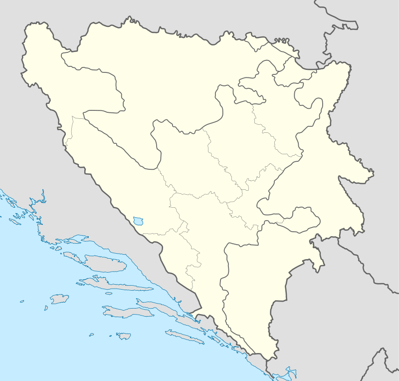 Maglaj Location of Maglaj | ||
| Coordinates: 44°33′N 18°06′E / 44.550°N 18.100°E | ||
| Country | Bosnia and Herzegovina | |
| Entity | The Federation | |
| Canton | Zenica-Doboj | |
| Government | ||
| • Municipality president | Mehmed Mustabašić (SDA) | |
| Area | ||
| • Total | 290 km2 (110 sq mi) | |
| Population (2013 census) | ||
| • Total | 24,980 | |
| Time zone | CET (UTC+1) | |
| • Summer (DST) | CEST (UTC+2) | |
| Area code(s) | +387 32 | |
| Website | http://www.maglaj.net | |

Maglaj is a town and municipality in northern Bosnia and Herzegovina. Maglaj is one of 12 municipalities of the Zenica-Doboj Canton. The city lies 25 km (16 mi) south of Doboj, the regional trade, education, culture, entertainment, and business centre. The city has a population of 25,000. The whole municipality has a population of 43,000.
Population
1961-1991
| Ethnic Composition | |||||
| Bosniaks | Serbs | Croats | Yugoslavs | Others | Total |
| 1961 | |||||
| 7,998 24.28% | 13,870 42.10% | 7,313 22.20% | 3,548 10.77% | 215 0.65% | 32,944 |
| 1971 | |||||
| 15,628 41.09% | 13,888 36.51% | 7,946 20.89% | 240 0.63% | 335 0.88% | 38,037 |
| 1981 | |||||
| 17,236 40.88% | 13,662 32.41% | 8,341 19.78% | 2,682 6.36% | 239 0.57% | 42,160 |
| 1991[1] | |||||
| 19,569 45.10% | 13,312 30.68% | 8,365 19.28% | 1,508 3.48% | 634 1.46% | 43,388 |
Geography
The town is situated in the northern part of Bosnia and Herzegovina and is situated in territory where Bosniaks presently form a large majority. The old Maglaj, like numerous other cities in Bosnia and Herzegovina, has an old town with mosques, traditional houses dating back from the Ottoman Empire, and a fortress that stands as a symbol of Maglaj. The new part of Maglaj, situated on the West side of the river Bosna, is made up of modern architecture that was started in the 1950s, and became massively developed until 1991.
The Bosna flows through Maglaj on its way north to the Sava river on the border between Bosnia and Herzegovina and Croatia. Before the Bosnian War, the Bosna river was heavily polluted due to heavy industrial activity at the nearby Natron paper and pulp factory, as well as steel and wood industry factories in the southern cities of Zenica and Zavidovići respectively. Nowadays, the river has become cleaner due to decreased industrial activity at those plants and higher environmental standards.
Demographics
The city, as well as the entire Maglaj municipality, have been subject to a large demographic population shift. Close to all of its pre-war Christian inhabitants, i.e. Orthodox Serbs and Catholic Croats, who made up the majority of the pre-war municipality population, no longer reside in the Maglaj municipality. The Orthodox population has largely settled in the Doboj and Modriča regions of the Republika Srpska, while the Catholic population has settled in the nearby municipality of Žepče, an enclave inhabited largely by Croats. A significant number of former Croat inhabitants have also settled in Croatia's capital Zagreb. Due to severe fighting around Maglaj throughout the Bosnian War, and the catasrophic conditions it was exposed to, numerous Bosniak Muslims have departed the region as well.
Pre-war Maglaj was unique because over one third of its married couples were made up of mixed ethnic groups. As a result of this, a great number of these Maglaj inhabitants felt welcome by none of the three warring ethnic groups, and tried to settle abroad. Consequentially, Maglaj residents have dispersed throughout the world, including Germany, Austria, Switzerland, the Scandinavian countries, Italy, the Czech Republic, Canada, the United States, and Australia among others.
History
Maglaj originated in the 14th century. The river Bosna goes through this town.
From 1929 to 1941, Maglaj was part of the Vrbas Banovina of the Kingdom of Yugoslavia.
The city endured a long siege by Bosnian Serbs forces between 1993 and 1994 during the Bosnian War, when the area was the scene of heavy fighting and the population had to be supplied by airdrops.
The last flooding occurred on May 16, 2014.[2] Although little floods occur every year, the 2014 flood was major, people lost their homes and belongings.
Notable residents
- Admir Hasančić, former football player
- Alma Čardžić, singer
- Adi Hodžić, writer
- Bahrudin Čengić, film director and screenwriter
- Šemsa Suljaković, singer
- Dževad Galijašević, political analyst
Notes
- ↑ Ethnic composition of Bosnia-Herzegovina population, by municipalities and settlements - 1991 Census. Sarajevo: The Bosnia and Herzegovina Statistics Agency - Bulletin n. 234. 1991.
- ↑ Osmic, Lejla. "In Pictures: Severe flooding in Bosnia". www.aljazeera.com. Retrieved 2015-06-03.
External links
| Wikimedia Commons has media related to Maglaj. |
- http://www.maglaj.net/
- Tragovima bosanskog kraljevstva - Tourist route for medieval Bosnia (English)
- Trail of the Bosnian Kingdom - Cultural Tourism in Tesanj
Municipalities of the Zenica-Doboj Canton | ||
|---|---|---|
Coordinates: 44°33′N 18°06′E / 44.550°N 18.100°E