Qal'ai Khumb
| Qal'ai Khumb (Tajik: Қалъаи Хумб, Persian: قلعۀ خمب) | |
|---|---|
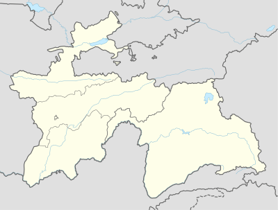 Qal'ai Khumb Location in Tajikistan | |
| Coordinates: 38°27′59″N 70°47′48″E / 38.46639°N 70.79667°ECoordinates: 38°27′59″N 70°47′48″E / 38.46639°N 70.79667°E | |
| Country |
|
| Province | Gorno-Badakhshan Autonomous Region |
| District | Darvoz district |
| Elevation | 1,200 m (3,900 ft) |
| Population | |
| • Total | 1,909 |
| Time zone | GMT (UTC+5) |
| • Summer (DST) | GMT (UTC+5) |
| Area code(s) | +992 3552 |
| Climate | Csa |
Qal'ai Khumb (Tajik: Қалъаи Хумб, Qal‘a‘i Xumb/Qal'haji Xumв;Persian: قلعهٔ خمب - meaning fortress on the banks of the river of Khumb) or Qal'a-i-Khum, also Kalai-Khumb (transliterated from Russian: Калай-Хумб), is a small town located in the Gorno-Badakhshan Autonomous Region in Tajikistan on the border with Afghanistan. Formerly it was the capital of the independent statelet of Darvaz. Now it is the capital of the Darvoz District of Tajikistan. Here the Pamir Highway meets the Panj River.
The village is an important overnight rest stop between Kulob and Khorugh, located at a distance of 168 km from Kulob (or 368 km from Dushanbe) and 235 km from Khorugh.[1] It has several hostels to accommodate travelers on their way between cities. The village is almost entirely surrounded by the Pamir Mountains.
References
- ↑ Transport projects in Tajikistan (Russian). Retrieved on 26 June 2009
| Districts | 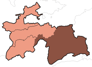 | |
|---|---|---|
| Main cities and towns | ||
| Geography | ||