Darvoz Range
| Darvaz Range Дарва́зький хребе́т | |
|---|---|
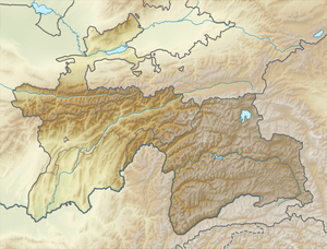 Location in Tajikistan | |
| Highest point | |
| Peak | Arnavad Peak |
| Elevation | 6,083 m (19,957 ft) |
| Coordinates | 38°34′00″N 71°31′00″E / 38.5667°N 71.5167°ECoordinates: 38°34′00″N 71°31′00″E / 38.5667°N 71.5167°E |
| Dimensions | |
| Length | 200 km (120 mi) NE/SW |
| Width | 50 km (31 mi) NW/SE |
| Geography | |
| Country | Tajikistan |
| Parent range | Pamir Mountains |
| Geology | |
| Age of rock | Paleozoic |
| Type of rock | Granite and metamorphic schist |
The Darvaz Range or Darvoz Range (Russian: Дарва́зский хребе́т) is a mountain range in the Western Pamirs, in Gorno-Badakhshan Autonomous Province of Tajikistan. Its name derives from the historical region of Darvaz.[1]
Geography
Starting in the east near the Academy of Sciences Range by Mount Garmo, it stretches from Mount Garmo roughly southwestwards between the Vanj River and Panj River (following the flows of the two), and the Obikhingou, a tributary of the Vakhsh River. The Vanj River separates it from the Vanj Range. Roughly 750 km² of the mountain chain are glaciated.[1]
The highest summit of the range is Arnavad Peak (Qullai Arnavad), a 6083 m high ultra-prominent peak.[2][3]
See also
References
- 1 2 Great Soviet Encyclopedia
- ↑
- ↑ "Arnavad Peak", Britannica.com
| Districts | 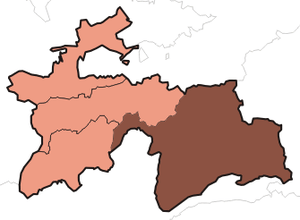 | |
|---|---|---|
| Main cities and towns | ||
| Geography | ||
This article is issued from Wikipedia - version of the 10/5/2016. The text is available under the Creative Commons Attribution/Share Alike but additional terms may apply for the media files.