Parkrose, Portland, Oregon
| Parkrose | |
|---|---|
| Neighborhood | |
 Parkrose | |
|
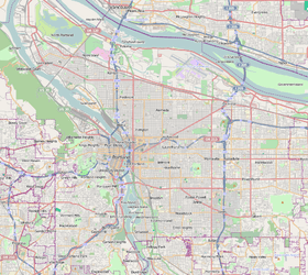
Coordinates: 45°33′26″N 122°32′51″W / 45.55719°N 122.54745°WCoordinates: 45°33′26″N 122°32′51″W / 45.55719°N 122.54745°W PDF map | |
| Country | United States |
| State | Oregon |
| City | Portland |
| Government | |
| • Association | Parkrose Neighborhood Association |
| • Coalition | East Portland Neighborhood Office |
| Area | |
| • Total | 1.85 sq mi (4.80 km2) |
| Population (2000)[1] | |
| • Total | 6,049 |
| • Density | 3,300/sq mi (1,260/km2) |
| Housing[1] | |
| • No. of households | 2095 |
| • Occupancy rate | 93% occupied |
| • % households renting | 51% renting |
| • Avg. household size | 2.89 persons |
Parkrose is a neighborhood in the Northeast section of Portland, Oregon.
The Parkrose plat was filed October 5, 1911. A branch post office of Portland was established there in 1921.
Parkrose was a small farming and residential suburb of Portland until the 1920s. The Oregon Journal noted on May 23, 1925, "Parkrose is a primary commuting center. . . . It is one of the most progressive and promising commuting districts on the eastern border of the city."
Parkrose was annexed by Portland, and the community was enumerated as a "Census-designated place" in 1980, when the community recorded a population of 21,108.[2] There is a Parkrose / Sumner Transit Center, which is served by the Red Line of TriMet's MAX Light Rail. A bridge at the transit center spans Interstate 205. C-Tran serves the transit center and travels into Washington. There is also a Parkrose School District.
References
External links
- Guide to Parkrose Neighborhood (PortlandNeighborhood.com)