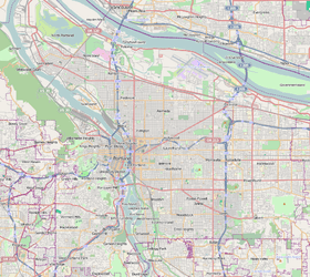
Healy Heights, Portland, Oregon
| Healy Heights | |
|---|---|
| Neighborhood | |
 Healy Heights | |
|
Coordinates: 45°29′30″N 122°41′56″W / 45.49178°N 122.69890°WCoordinates: 45°29′30″N 122°41′56″W / 45.49178°N 122.69890°W PDF map | |
| Country | United States |
| State | Oregon |
| City | Portland |
| Government | |
| • Association | Healy Heights Neighborhood Association |
| Area | |
| • Total | 0.06 sq mi (0.15 km2) |
| Population (1996)[1] | |
| • Total | 133 |
| • Density | 2,300/sq mi (887/km2) |
| Housing[1] | |
| • No. of households | 72 |
| • Occupancy rate | % occupied |
| • % households renting | 8% renting |
| • Avg. household size | persons |
Healy Heights is a Portland, Oregon neighborhood in the West Hills of the city's Southwest section. Though recognized by the city as a neighborhood in its own right, it lies entirely within the boundaries of the city's Southwest Hills neighborhood.
The neighborhood association holds its annual potluck dinner in Healy Heights Park (1951) on the second Sunday in September.
 A hillside home in Healy Heights.
References
External links
- Guide to Healy Heights Neighborhood (PortlandNeighborhood.com)
This article is issued from Wikipedia - version of the 9/4/2016. The text is available under the Creative Commons Attribution/Share Alike but additional terms may apply for the media files.