Naivasha
| Naivasha | |
|---|---|
| Town | |
 | |
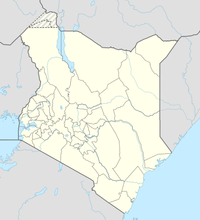 Naivasha Location in Kenya | |
| Coordinates: 0°43′S 36°26′E / 0.717°S 36.433°E | |
| Country |
|
| County | Nakuru County |
| Elevation[1] | 2,086 m (6,843 ft) |
| Population (2009) | |
| • Total | 181,966[2] |
| Time zone | EAT (UTC+3) |
Naivasha is a market town in Nakuru County, Kenya, lying north west of Nairobi.
Overview
The town has a total population of 181,966 (2009 census).[2]
The main industry is agriculture, especially floriculture.
Naivasha is also a popular tourist destination. Hell's Gate National Park (the main locations for Lion King, including Pride Rock and the Gorge, are modelled after the park[3]), Longonot National Park and Mount Longonot are nearby attractions. Tours also have included Lake Naivasha, to observe birdlife and hippopotamus behaviour, [4] as well as other wild animals.
In the late 1970s–1980s Lake Naivasha was overrun with poachers and foreign creatures introduced into the lake to provide fishing. The migratory paths along lake Naivasha were being destroyed by the local rose industry. Naturalist, Joan Root (1936–2006), spent the last decade of her life trying to save the lake and its wildlife.
A resort in Naivasha was the location for much of the negotiations of the Comprehensive Peace Agreement ending the Second Sudanese Civil War, commonly known as the "Naivasha Agreement".
Transport
It is located on the shore of Lake Naivasha and along the Nairobi – Nakuru highway (A104 road) and Uganda Railway. In 2015, an extension of the new standard gauge railway to this town is approved.[5]
See also
- Lake Naivasha Country Club – historic site in the area.
Notes
- ↑ "Geographic coordinates of Naivasha, Kenya. Latitude, longitude, and elevation above sea level of Naivasha". dateandtime.info. Retrieved 28 July 2016.
- 1 2 "2009 Census Vol 1 Table 3 Rural and Urban Population | Open Data Portal". opendata.go.ke. Retrieved 28 July 2016.
- ↑ "The Lion King (1994) - Trivia - IMDb". imdb.com. Retrieved 28 July 2016.
- ↑ "Lake Naivasha Country Club" (wildlife, map, photos), Go2Africa, 2003, go2africa.com webpage: Nav.
- ↑ "Kenya Std Gauge To Be Extended | Railways Africa". railwaysafrica.com. Retrieved 28 July 2016.
Coordinates: 0°43′12.85″S 36°25′42.71″E / 0.7202361°S 36.4285306°E