Nguruman Escarpment
| Nguruman Escarpment | |
|---|---|
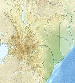 Nguruman Escarpment Location in Kenya | |
| Highest point | |
| Coordinates | 1°45′42″S 36°01′32″E / 1.761655°S 36.025543°ECoordinates: 1°45′42″S 36°01′32″E / 1.761655°S 36.025543°E |
| Geography | |
| Location | Kenya |
Nguruman Escarpment is an escarpment in southern Kenya. The escarpment is around 50 kilometres long and elongated in N-W direction. Its northern edge approximately 120 km southwest of Nairobi, while the southern edge is near the Tanzanian border, at the northwestern corner of Lake Natron. The Southern Ewaso Ng'iro river flows southward along the foot of the escarpment, while Loita Hills are located west of the escarpment.[1] The escarpment forms the western wall of the Great Rift Valley. Below it are the vast plains and the volcanic hills of the Great Rift Valley and in the distance are Lake Magadi and Lake Natron.[2]
The valley floor is about 900m above sea level, while the levation of the crest of the escarpment is about 2300m.[3]
The Shompole Conservancy is located along Nguruman Escarpment.[4]
References
- ↑ Kenya - The Rough Guide Map
- ↑ "Loita Hills and Nguruman Escarpment". www.kilimanjaro.cc. Retrieved 2008-03-19.
- ↑ BirdLife IBA Factsheet - South Nguruman
- ↑ Rough Guide to Kenya: he Nguruman Escarpment and Shompol