Nåvatnet
| Nåvatnet | |
|---|---|
| Nåvatn | |
 Nåvatnet  Nåvatnet | |
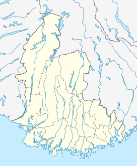
| Location | Åseral, Vest-Agder |
| Coordinates | 58°34′31″N 07°18′01″E / 58.57528°N 7.30028°E / 58.57528; 7.30028 |
| Basin countries | Norway |
| Max. length | 15 kilometres (9.3 mi) |
| Max. width | 1 kilometre (0.62 mi) |
| Surface area | 6.65 km2 (2.57 sq mi) |
| Shore length1 | 45.92 kilometres (28.53 mi) |
| Surface elevation | 628 metres (2,060 ft) |
| References | NVE |
| 1 Shore length is not a well-defined measure. | |
Nåvatnet is a lake in the municipality of Åseral in Vest-Agder county, Norway.[1] The 6.65-square-kilometre (2.57 sq mi) lake lies about 5 kilometres (3.1 mi) west of the village of Kyrkjebygda. The lake has four dams at various locations at the southern end for purposes of power generation at the nearby Skjerka power station. The lake is 15 kilometres (9.3 mi) long, but only about 1 kilometre (0.62 mi) wide at its widest point.
See also
References
- ↑ "Nåvatn, Åseral (Vest-Agder)" (in Norwegian). yr.no. Retrieved 2016-11-07.
This article is issued from Wikipedia - version of the 11/8/2016. The text is available under the Creative Commons Attribution/Share Alike but additional terms may apply for the media files.