Kulivatnet
| Kulivatnet | |
|---|---|
 Kulivatnet 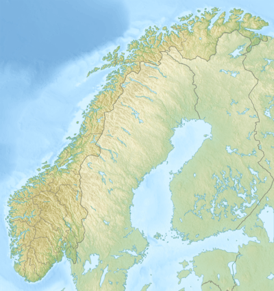 Kulivatnet | |
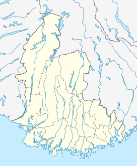
| Location | Sirdal, Vest-Agder |
| Coordinates | 58°44′33″N 06°36′59″E / 58.74250°N 6.61639°E / 58.74250; 6.61639 |
| Basin countries | Norway |
| Max. length | 3 kilometres (1.9 mi) |
| Max. width | 1.4 kilometres (0.87 mi) |
| Surface area | 2.16 km2 (0.83 sq mi) |
| Shore length1 | 14.51 kilometres (9.02 mi) |
| Surface elevation | 612 metres (2,008 ft)[1] |
| References | NVE |
| 1 Shore length is not a well-defined measure. | |
Kulivatnet is a lake in the municipality of Sirdal in Vest-Agder county, Norway. It sits just 400 metres (1,300 ft) downhill from the border with Bjerkreim municipality in Rogaland county. The 2.16-square-kilometre (0.83 sq mi) lake is somewhat V-shaped and it has a small dam on the southeastern side to hold water for hydroelectric power generation. The water flows south through a series of dammed lakes before emptying into the river Sira at Tonstad, about 8 kilometres (5.0 mi) away.
See also
References
- ↑ "Kulivatn, Sirdal (Vest-Agder)" (in Norwegian). yr.no. Retrieved 2016-08-14.
This article is issued from Wikipedia - version of the 8/14/2016. The text is available under the Creative Commons Attribution/Share Alike but additional terms may apply for the media files.