Hautmont
| Hautmont | ||
|---|---|---|
|
| ||
| ||
 Hautmont | ||
|
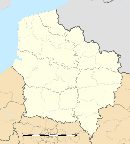
Location within Hauts-de-France region  Hautmont | ||
| Coordinates: 50°14′55″N 3°55′31″E / 50.2486°N 3.9253°ECoordinates: 50°14′55″N 3°55′31″E / 50.2486°N 3.9253°E | ||
| Country | France | |
| Region | Hauts-de-France | |
| Department | Nord | |
| Arrondissement | Avesnes-sur-Helpe | |
| Canton | Hautmont (chef-lieu) | |
| Intercommunality | Sambre - Avesnois | |
| Government | ||
| • Mayor (2008–2014n EF) | Joël Wilmotte | |
| Area1 | 12.27 km2 (4.74 sq mi) | |
| Population (1999)2 | 16,021 | |
| • Density | 1,300/km2 (3,400/sq mi) | |
| Time zone | CET (UTC+1) | |
| • Summer (DST) | CEST (UTC+2) | |
| INSEE/Postal code | 59291 / 59330 | |
| Elevation |
123–184 m (404–604 ft) (avg. 132 m or 433 ft) | |
|
1 French Land Register data, which excludes lakes, ponds, glaciers > 1 km² (0.386 sq mi or 247 acres) and river estuaries. 2 Population without double counting: residents of multiple communes (e.g., students and military personnel) only counted once. | ||
Hautmont is a commune in the Nord department in northern France.
It is 5 km (3.1 mi) southwest of the centre of Maubeuge, and has 16,000 residents.
In August 2008 an EF4 tornado swept through the town, damaging many buildings and resulting in the death of three people.[1] The tornado also affected Maubeuge, Neuf-Mesnil and Boussières-sur-Sambre.
Heraldry
.svg.png) |
The arms of Hautmont are blazoned : Or, 3 chevrons sable. (Bersillies, Boeschepe, Boussières-sur-Sambre, Colleret, Cousolre, Flaumont-Waudrechies, Hautmont, Limont-Fontaine, Lompret, Masny, Neuville-en-Avesnois and Saint-Rémy-du-Nord use the same arms.) |
International relations
Twin towns - sister cities
Kamianets-Podilskyi is twinned with:
See also
References
- ↑ North France tornado kills three - BBC News
- ↑ "Kalisz Official Website - Twin Towns".

 (in English and Polish) © 2005-2008 Urząd Miejski Kalisz. Retrieved 2008-11-29.
| Wikimedia Commons has media related to Hautmont. |
This article is issued from Wikipedia - version of the 6/21/2015. The text is available under the Creative Commons Attribution/Share Alike but additional terms may apply for the media files.