Grass Valley, Nevada
This article is about the CDP in the state of Nevada. For the city in the county of Nevada, see Grass Valley, California. For the valley in Pershing County, Nevada, see Grass Valley (Pershing County). For other uses, see Grass Valley (disambiguation).
| Grass Valley, Nevada | |
|---|---|
| Census-designated place | |
 Grass Valley | |
| Coordinates: 40°49′42″N 117°45′22″W / 40.82833°N 117.75611°W | |
| Country | United States |
| State | Nevada |
| Area | |
| • Total | 34.5 sq mi (89.4 km2) |
| • Land | 34.5 sq mi (89.4 km2) |
| • Water | 0.0 sq mi (0.0 km2) |
| Elevation | 4,390 ft (1,338 m) |
| Population (2010) | |
| • Total | 1,161 |
| • Density | 34/sq mi (13/km2) |
| Time zone | Pacific (PST) (UTC-8) |
| • Summer (DST) | PDT (UTC-7) |
| Area code(s) | 775 |
| FIPS code | 32-30220 |
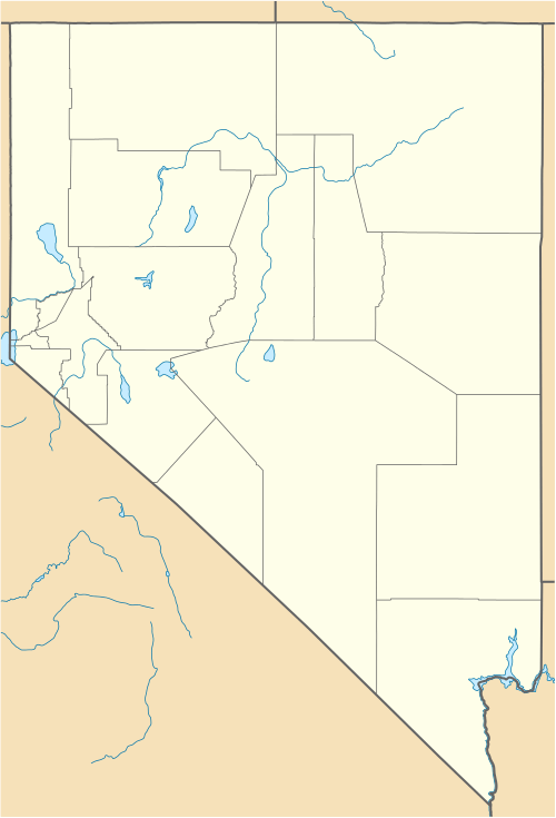
Grass Valley is a census-designated place (CDP) in Pershing County, Nevada, United States. As of the 2010 census the population was 1,161.[1]
Geography
Grass Valley is located in northeastern Pershing County, Nevada, 10 miles (16 km) south of Winnemucca. The CDP is named after the valley in which it lies, a 5-mile-wide (8 km) basin between the Sonoma Range to the east and the East Range to the west. Nevada State Route 294 (Grass Valley Road) runs from Grass Valley into Winnemucca.
According to the U.S. Census Bureau, the Grass Valley CDP has an area of 34.5 square miles (89.4 km2), all land.[1]
References
- 1 2 "Geographic Identifiers: 2010 Demographic Profile Data (G001): Grass Valley CDP, Nevada". U.S. Census Bureau, American Factfinder. Retrieved January 28, 2013.
Municipalities and communities of Pershing County, Nevada, United States | ||
|---|---|---|
| City | 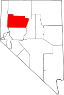 | |
| CDPs | ||
| Unincorporated community | ||
| Ghost towns | ||
This article is issued from Wikipedia - version of the 10/29/2016. The text is available under the Creative Commons Attribution/Share Alike but additional terms may apply for the media files.