Cái Bè District
| Cái Bè District Huyện Cái Bè | |
|---|---|
| Rural district | |
 Cái Bè District | |
| Coordinates: 10°20′N 106°02′E / 10.333°N 106.033°E | |
| Country |
|
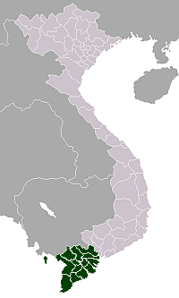
| Region | Mekong Delta |
| Province | Tiền Giang Province |
| Capital | Cái Bè |
| Area | |
| • Total | 163 sq mi (421 km2) |
| Population (2003) | |
| • Total | 290,457 |
| Time zone | UTC + 7 (UTC+7) |
Cái Bè is a river-land mixed town in Vietnam. It is a rural district of Tiền Giang Province in the Mekong Delta region of Vietnam. Along the river, there are docks that handle passengers and goods, and the floating market. Cái Bè is the north shore of Mỹ Thuận bridge, the gateway to the city of Vĩnh Long and the Cửu Long River Delta. As of 2003, the district had a population of 290,457.[1] The district covers an area of 421 km². The district capital lies at Cái Bè.[1]
References
- 1 2 "Districts of Vietnam". Statoids. Retrieved March 13, 2009.
Coordinates: 10°20′N 106°02′E / 10.333°N 106.033°E
This article is issued from Wikipedia - version of the 9/16/2015. The text is available under the Creative Commons Attribution/Share Alike but additional terms may apply for the media files.