Càng Long District
| Càng Long District Huyện Càng Long | |
|---|---|
| Rural district | |
| Country |
|
| Region | Mekong Delta |
| Province | Trà Vinh |
| Capital | Càng Long |
| Area | |
| • Total | 110 sq mi (284 km2) |
| Population (2003) | |
| • Total | 165,747 |
| Time zone | UTC + 7 (UTC+7) |
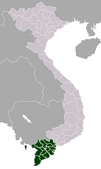
Càng Long is a rural district (huyện) of Trà Vinh Province in the Mekong Delta region of Vietnam. As of 2003 the district had a population of 165,747.[1] The district covers an area of 284 km². The district capital lies at Càng Long.[1] In Sino-Vietnamese script, used until 1945, the city's name is given as 冈隆.
Càng Long district is located in the northern province of Trà Vinh. On the east side it borders the town of Trà Vinh, Bến Tre Province and boundary in the northeast and Châu Thành district in the southeast. To the north is Vũng Liêm District, Vĩnh Long.
The centre of the district is located along the Highway 53, Trà Vinh and Vĩnh Long 21 km and 43 km away respectively.
Càng Long district is the gateway to the economic - cultural - social area of Trà Vinh province in the Mekong Delta region.
References
- 1 2 "Districts of Vietnam". Statoids. Retrieved March 13, 2009.
Coordinates: 9°55′01″N 106°10′01″E / 9.917°N 106.167°E